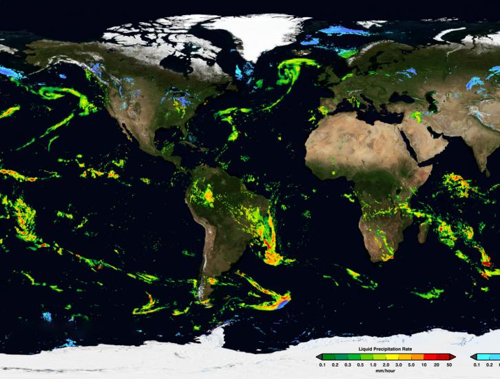
We are contacting you to report an problem where Version 4 GPM data products could not be read using the 4.2.2.1 version of netCDF. Users are recommended to upgrade to netCDF 4.3.3.1 or later. Any software (OPeNDAP, etc.) that uses older than netCDF Version 4.3.3.1 (what we tested, versions earlier in the 4.3 series may also work) will not be able to read GPM DF5 Version 4 data.

Data News
Tuesday, January 28, 2020
The PPS (Precipitation Processing System) will be down today, June 07, 2016 from 8:00am -14:00pm EDT (12:00 - 18:00 UTC). for scheduled maintenance. During this time all data transfers between PPS source and its consumer systems (GDAAC/DISC) as well as Science User services (FTP and STORM access) will be unavailable. You will be informed when PPS systems become available. We apologize for any inconvenience this may cause.
With the GPM Version 04 Update, PPS is also rolling out an interactive GPM NRT Viewer. This tool displays NRT Level 1C GMI, Level 2A GPROF, and Level 2A DPR data as soon as it is available in the NRT archive on a three-dimensional globe. Fields such as brightness temperature and surface precipitation rate are available for visualization, comparison, and improved data acquisition decision-making. You may Leave it running continuously as data refreshes with each segment, or use the navigation dropdown to look at specific events and time periods from the previous twelve hours. This viewer is...
Due to continuing, intermittent anomalies in the F17 SSMIS 37v channel, starting from April 13, 2016 (Orbit # 48713 : 18:29:36) and forward all 1C F17 products will flag the 37V channel as bad data and the Brightness Temperatures will be missing. We apologize for any inconvenience or problems that this may cause and appreciate your understanding and patience. Please let us know if you have any questions or concerns.
Below are a few recent satellite anomalies of note that may have affected the quality of the IMERG precipitation products. 10 May 2016: The data flow from the Himawari-8 GEO satellite was interrupted for 57 hours, 7 May, 05 UTC – 9 May, 14 UTC and during that time there is a continuous zone of missing values in the IR precipitation data in the center of the Himawari-8 sector (over Japan), where data from the adjoining GEO satellites are unable to fill the gap. The IR-based displacement vectors were therefore computed using the standard fallback of spatial interpolation. 20 April 2016...

