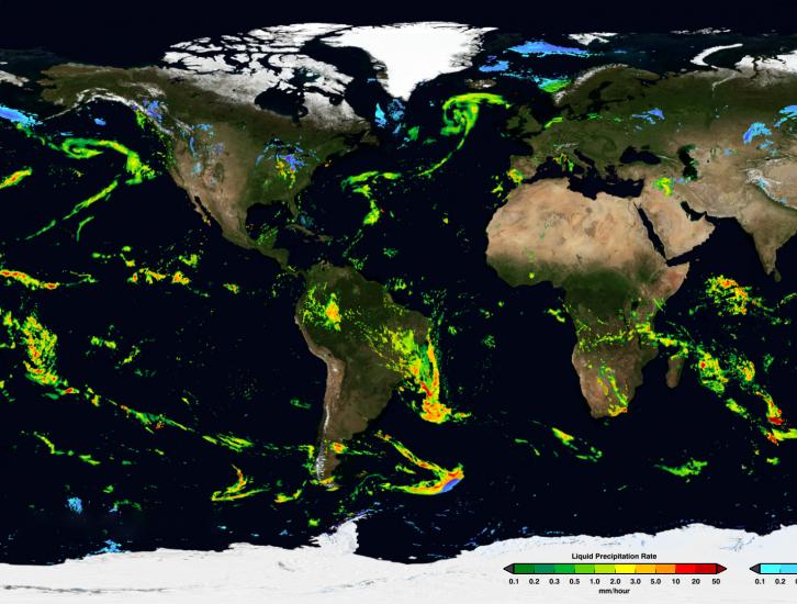
PPS has completed the production of the GIS-friendly TIF/TFW products created from the IMERG Early dataset. These products include running accumulations at 3hr and 1day. The Early TIF/TFW GIS-friendly products have been created back to the beginning of the mission: March 2014. They can be found on jsimpson server in the directories: /NRTPUB/imerg/gis/early/YYYY/MM Documentation for the TIF/TFW products is contained in the document README.GIS.pdf in /NRTPUB/imerg/gis.

Data News
Tuesday, January 28, 2020
Date of Event: 15 June 2017 Start Time of Event: 13:15 UTC Schedule stop time: 14:15 UTC GSFC networking personnel will be replacing network equipment that will directly impact GPM MOC, both its connection to PPS AND, more significantly, its connection to White Sands (WSC) which is the download location for GPM data. Since this replacement will provided needed increase in network throughput capacity, the update is required. During the outage, PPS SDPS (tnitta) will receive NO GPM DATA. While only an hour is currently planned for the outage as with any network modifications, changes might take...
In an effort to keep users informed, below is the current status of the IMERG V04 products. Summary 1. As of 02:20 UTC on 9 May 2017, IMERG Early and Late are running in V04 with backward compatibility adjustments to V05 inputs. 2. From that point to about 11:30 UTC on 12 May 2017, there are long, thin streaks of artifacts in IMERG Early and Late due to GPROF-ATMS. 3. From that point to about 15:00 UTC on 30 May 2017, there are unrealistically large areas of light rain in moist tropical ocean areas in IMERG Early and Late due to GPROF-ATMS and GPROF-MHS. Thereafter, the content of microwave...
PPS is releasing GPM V05 DPR L1-L3 and Combined L2 and L3 V05 data products today, Wednesday May 17, 2017. This V05 data will be available beginning with May 01, 2017 data and forward. The DPR Level 3 monthly products will be released when validated. Reprocessed V05 DPR and Combined data for March 2014 through April 2017 will take several weeks to complete. This data will appear in PPS's arthurhou archive as we reprocess (6 to 8 weeks - estimated completion time). Registered users can obtain data from: ftp://arthurhou.pps.eosdis.nasa.gov/ and can order this through STORM: https://storm.pps...
Effective approximately 04:00 UTC, 9 May 2017 the near-realtime swath products (GMI, partner constellation, radar and combined) will be upgraded from V04 to V05. During the conversion the latency of near-realtime will be affected as all the new code and support files need to be modified to carry out this upgrade. We hope this will take no more than 2 hours but can not guarantee it might not be longer. We will start with the upgrade of radar products, followed as quickly as possible by GMI and then the partner constellation products. We are starting with the radar as this requires close...

