
GPM Examines Hurricane Gert's Rainfall
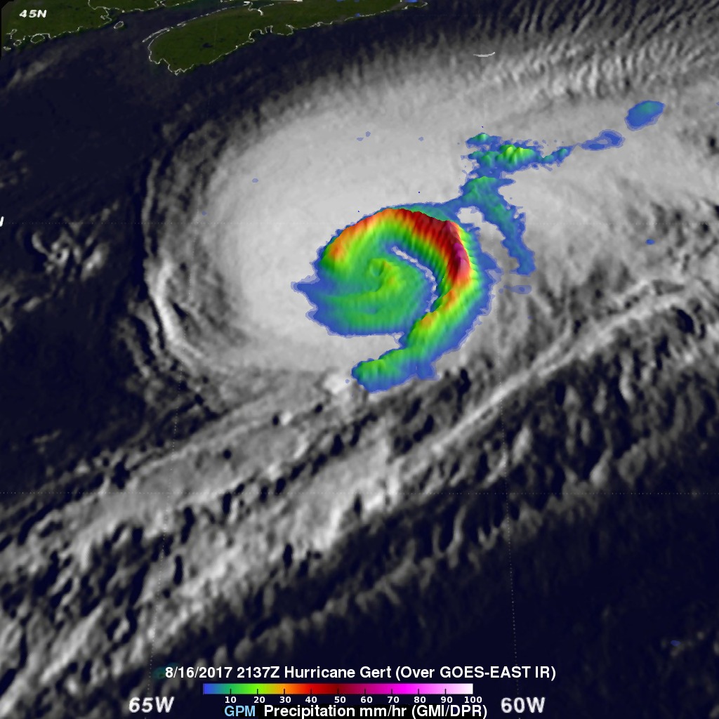
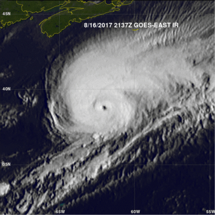
The GPM core observatory satellite provided rainfall information about hurricane Gert on August 16, 2017 at 5:37 PM EDT (2137 UTC). At that time Gert was a strong category two hurricane with maximum sustained winds of about 93.5 mph (85 kts). Data from GPM's Microwave Imager (GMI) instrument showed that rain was still falling at a rate of more than 2.94 inches (74.7 mm) per hour in a powerful band of storms spiraling around Gert's eastern side. With that pass GPM's Dual-Frequency Precipitation Radar (DPR) had a limited encounter with hurricane Gert. DPR did find that rain in storms on the extreme northeastern edge of the hurricane was falling at a rate of up to 2.8 inches (70.3 mm) per hour. In that area storm tops were found by GPM's radar (DPR Ku band) to reach up to 7.5 miles (12.1 km).
Today Hurricane Gert is starting to deteriorate as it moves over increasingly colder waters. Gert is moving toward the northeast over the open waters of the north Atlantic Ocean. The National Hurricane Center (NHC) predicts that Gert will become an extra-tropical low later today.