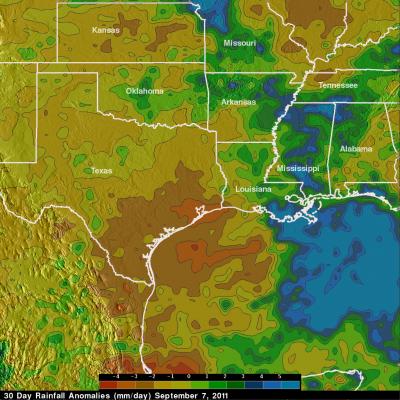
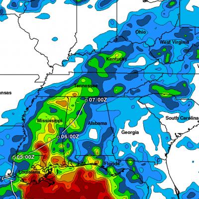
Tropical Storm Lee Joins with Frontal System to Soak the Eastern US
After forming in the north central Gulf of Mexico, Tropical Storm Lee came ashore over south central Louisiana on the morning of Sunday September 4th, 2011. Over the next two and a half days, the slow-moving storm worked its way across central Louisiana and central Mississippi and into northern Alabama, dumping heavy rains along the way. The primary mission of the Tropical Rainfall Measuring Mission or TRMM satellite is to measure rainfall over the global Tropics using a combination of passive microwave and active radar sensors. For expanded coverage, TRMM can be used to calibrate rainfall


