Tropical Storm Flossie Threatens Hawaiian Islands
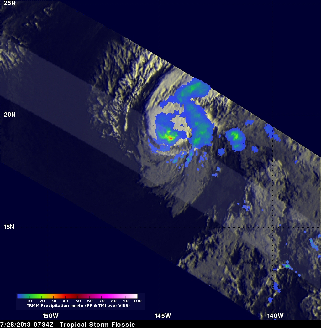
The TRMM satellite had a very good view of tropical storm Flossie in the eastern Pacific Ocean on July 28, 2013 at 0734 UTC. The image on the left shows an analysis of rainfall data from that pass using TRMM's Microwave Imager (TMI) and Precipitation Radar (PR) instruments. TRMM PR data found rain falling at a rate of over 46 mm/hr (~1.8 inches) in storms just south of Flossie's center of circulation. TRMM PR also found that some of these storms were returning 45dBZ reflectivity values to the satellite indicating that moderate to heavy rain was falling in that area.
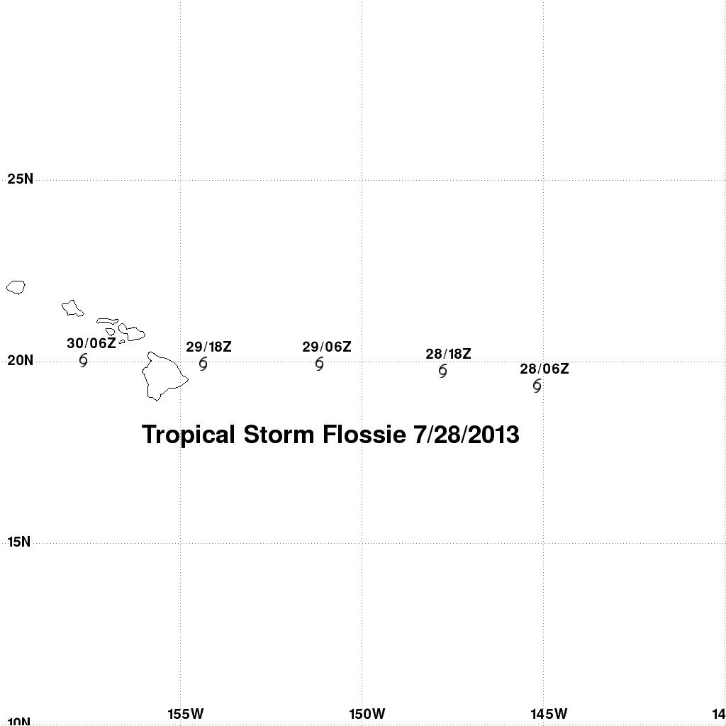
The map on the right shows tropical storm Flossie's forecast track. Tropical storm Flossie is predicted to still be a tropical storm with winds of about 40kts (~46mph) as it moves into the Hawaiian Islands on Monday July 29, 2013.


