
Hurricane Henriette
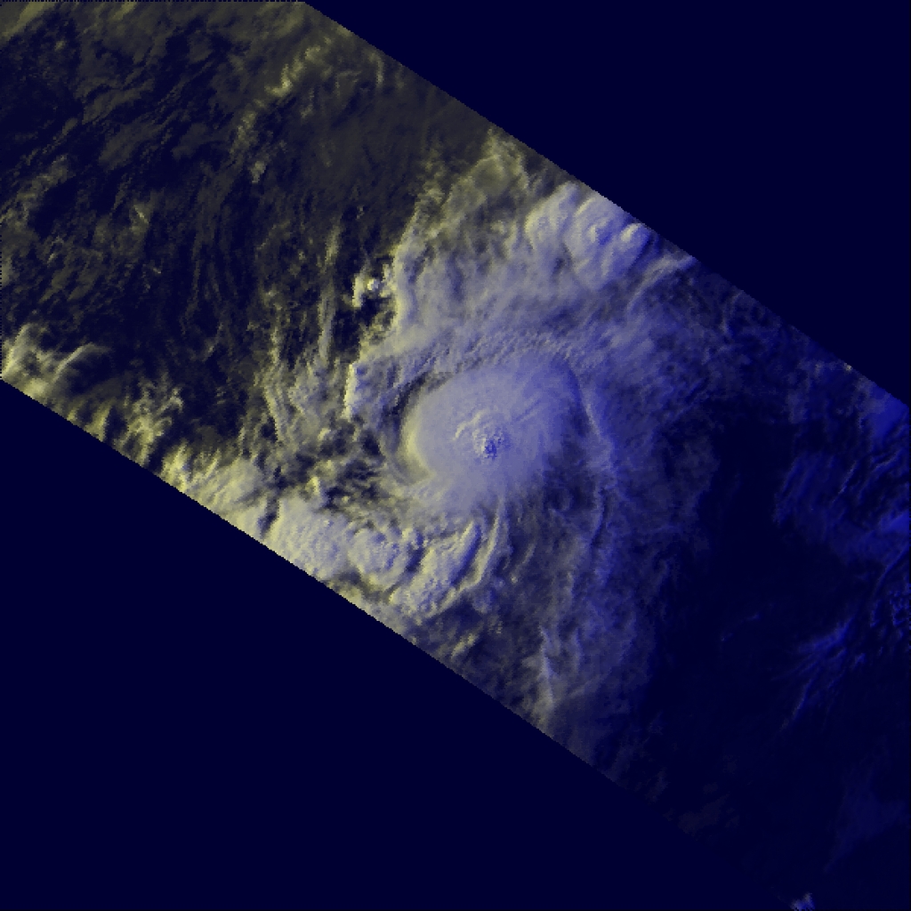
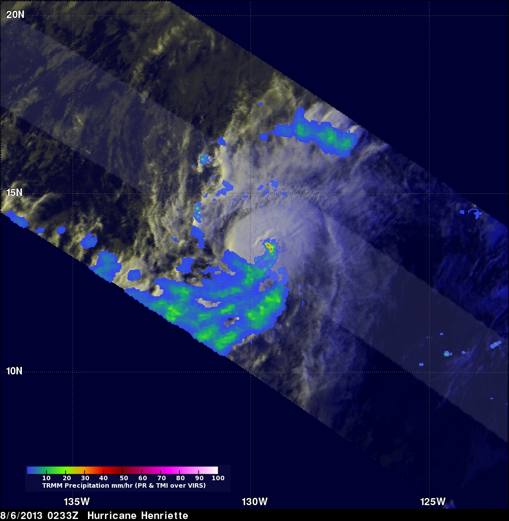
The TRMM satellite flew over the eastern Pacific Ocean on August 6, 2013 0233 UTC (~5:33 PM local time) collecting data for the low sun angle views of hurricane Henriette shown here. The Visible/Infrared image on the left shows the shadows cast by towering thunderstorms on the northeastern side of Henriette's forming eye wall. The image on the right shows the same image with rainfall derived from TRMM's Microwave Imager (TMI) and Precipitation Radar (PR) instruments overlaid. TRMM's PR instrument measured rain falling at the rate of over 55.46mm/hr (~2.2 inches) per hour in this towering thunderstorm near Henriette's center.
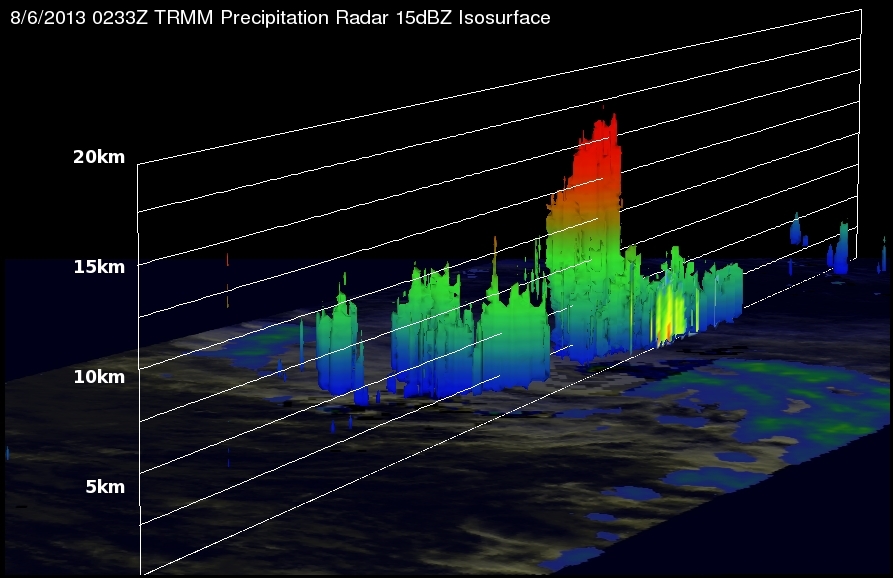
This 3-D image (looking toward the east) from TRMM PR data reveals that towering storms in the northeastern side of Henriette's eye were reaching height of almost 16.75km (~10.41 miles). This kind of chimney cloud, also called a "hot tower" (as it releases a huge quantity of latent heat by condensation) can play a part in the formation or intensification of tropical cyclones. Intense rainfall in Henriette's forming eye wall was returning values greater than 48.7dBZ to the TRMM satellite.