remote sensing

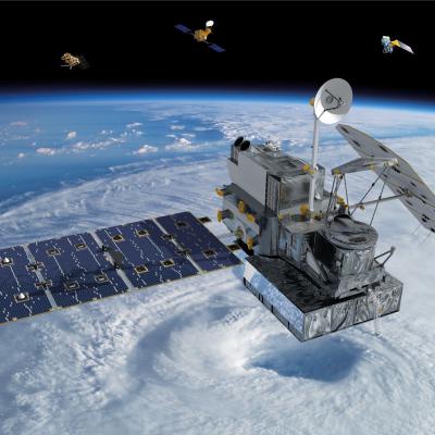
Getting the Big Picture: Remote Sensing

Submitted by JacobAdmin on Thu, 11/12/2015
Video Embed

A brief animated look at the different types of remote sensing techniques that NASA uses to study the Earth. This video discusses why we need remote sensing to study the Earth, and the differences between active and passive remote sensing from satellites. It also gives examples of different types of data NASA satellites collect about the Earth, and some of the applications of that data.

This video is public domain and can be downloaded in high resolution here.


GPM: Too Much, Too Little

Submitted by JacobAdmin on Fri, 06/07/2013
Video Embed

Researchers need accurate and timely rainfall information to better understand and model where and when severe floods, frequent landslides and devastating droughts may occur. GPM’s global rainfall data will help to better prepare and respond to a wide range of natural disasters.

Video Text: 

Dalia: GPM will help us to understand precipitation extremes. And this is everything from too much rainfall, such as flooding in India or Southeast Asia, to too little rainfall such as drought in the U.S. Southwest.

GPM Core Observatory in space with constellation satellites in background.
By Ellen Gray, NASA Goddard Space Flight Center Original www.nasa.gov Feature (published 4/12/13) This video, "Our Wet Wide World", provides an overview of the Global Precipitation Measurement Mission and its goals. Video Credit: Ryan Fitzgibbons As anyone who has ever been caught in a sudden and unexpected downpour knows, gaps still exist in our knowledge about the behavior and movement of precipitation, clouds and storms. An upcoming satellite mission from NASA and the Japanese Space Agency aims to fill in those gaps both in coverage and in scientists' understanding of precipitation. The...
Thumbnail for "For GOod Measure"
This page will automatically redirect you to the video "For Good Measure" on the Precipitation Education section of this site. If you are not redirected, click here
GPM flying over Earth with a data swath visualized.
Frozen precipitation is particularly difficult to measure from space due to the wide variability in snowflake shapes and behavior. Snowflakes can have different impacts on the active and passive instruments signals compared to liquid precipitation, which is further complicated by a weak signal to noise ratio resulting from different scattering properties of liquid verses frozen precipitation. In recent years, the capability to quantify liquid precipitation from space has been greatly enhanced with the addition of several measurement capabilities from low-Earth orbit, most notably from passive...

Active and Passive Remote Sensing Diagram

Diagram illustrating the differences between active and passive remote sensing.
Image Caption
This diagram illustrates the differences between active and passive remote sensing.

TRMM and GPM rely on active and passive instruments to measure the properties of precipitation from space.

Active radars, such as the TRMM Precipitation Radar, transmit and receive signals reflected back to the radar. The signal returned to the radar receiver (called radar reflectivity) provides a measure of the size and number of rain/snow drops at multiple vertical layers in the cloud (Left figure).

Engineers at Goddard Space Flight Center constructing the TRMM satellite assembl
The Tropical Rainfall Measuring Mission is the first Earth Science mission dedicated to studying tropical and subtropical rainfall: precipitation that falls within 35 degrees north and 35 degrees south of the equator. Tropical rainfall comprises more than two-thirds of the world's total. The satellite uses several instruments to detect rainfall including radar, microwave imaging, and lightning sensors. Flying at a low orbital altitude of 240 miles (400 kilometers) TRMM's data collection of tropical precipitation helps improve our understanding about climate and weather. The Japanese space...