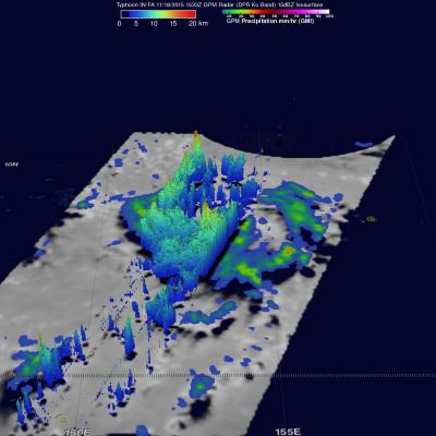
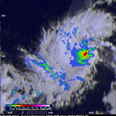
Increased Western Pacific Tropical Cyclone Activity Seen By GPM
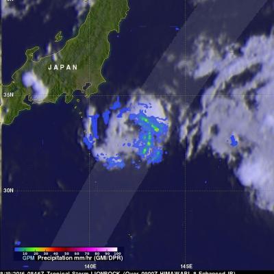
The first typhoon in the western Pacific Ocean (NEPARTAK) didn't form until July this year. Since then tropical cyclone activity has increased with four of the named tropical cyclones coming near Japan. Typhoon Chantu recently brought strong winds and heavy rain to northern Japan. Tropical storm Lionrock quickly followed Chantu and is predicted to strengthen little while moving past to the south of Japan. Another tropical storm called Mindulle formed today in the Pacific Ocean northwest of Guam. Mindulle is predicted to move northward, intensify and become a typhoon just before hitting