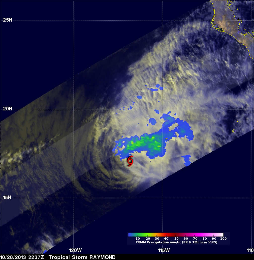
Tropical Storm Raymond Fading Fast

There has been some recent convective activity within tropical storm Raymond but southwesterly wind shear and cooler ocean temperatures are predicted by the National Hurricane Center (NHC) to weaken the tropical storm to a remnant low on Wednesday October 30, 2013. Raymond contained rainfall only in an area northwest of it's center of circulation when the TRMM satellite passed above on October 28, 2013 at 2337 UTC (4:37 PM PDT). Rainfall data from TRMM's Microwave Imager (TMI) and Precipitation Radar (PR) are shown overlaid on a combination visible and infrared image from TRMM's Visible and InfraRed Scanner (VIRS). This analysis revealed that the maximum rainfall intensity associated with Raymond was only about 33.6mm/hr (~1.3 inches). A red tropical storm symbol shows Raymond's approximate center of circulation at the time of this TRMM orbit.

