Tropical Storm Emily Rainfall
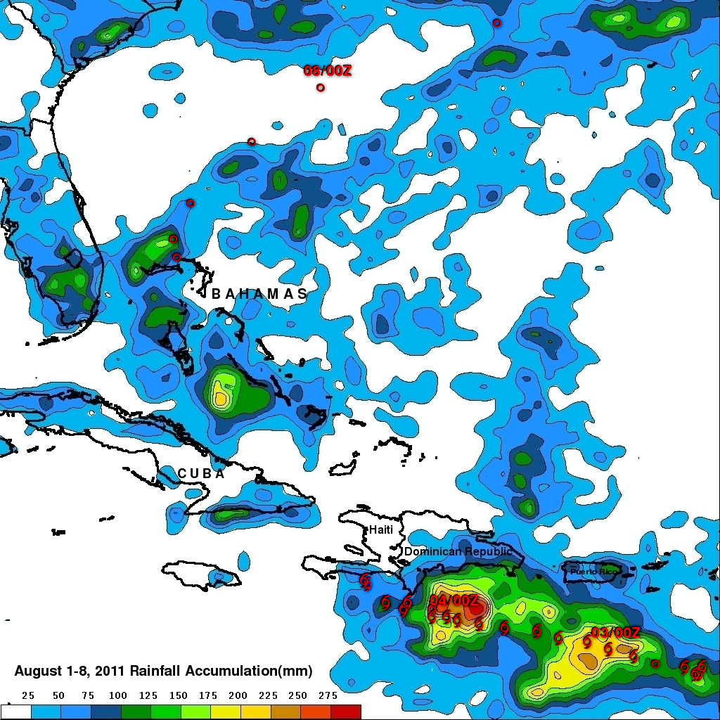
The TRMM-based, near-real time Multi-satellite Precipitation Analysis (TMPA) at the NASA Goddard Space Flight Center provides estimates of rainfall over the global Tropics. TMPA rainfall totals associated with tropical storm Emily are shown for the period from 1 to 8 August 2011. Approximate locations for Emily are shown with appropriate red symbols and the storm's 0000Z positions were labeled. The TMPA analysis above indicates that Emily dropped the heaviest rainfall totals of close to 300 mm (~11.8 inches) in the Caribbean Sea south of the Dominican Republic.
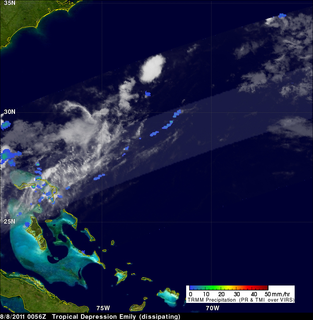
Tropical storm Emily formed near the island of Dominica in the Lesser Antilles on August 2, 2011. The storm was never well organized and dissipated to a trough of low pressure on August 4, 2011 when it clashed with the mountains of Hispaniola. Emily's flooding caused three deaths in the Dominican Republic and possibly one in Haiti. Emily also drenched the Bahamas with rainfall totals of over 200 mm (~7.9 inches) and was revived to tropical depression status before completely dissipating while moving northeastward into the open waters of the Atlantic Ocean on August 8, 2011.