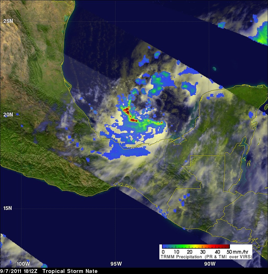
TRMM Sees Developing Tropical Storm Nate
The TRMM satellite flew over the latest tropical cyclone to form in the Atlantic Ocean basin on 7 September 2011 at 1812 UTC (2:12 PM EDT). This TRMM pass was a few hours before the National Hurricane Center (NHC) named this low pressure center in the Bay Of Campeche tropical storm Nate. Data from TRMM's Precipitation Radar (PR) shows that the forming tropical cyclone had areas of heavy convection with storm tops reaching to heights of about 14km (~8.7 miles) south of Nate's center of circulation.