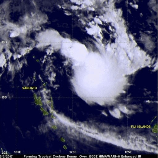
Tropical Cyclone Donna's Rain Unveiled By GPM
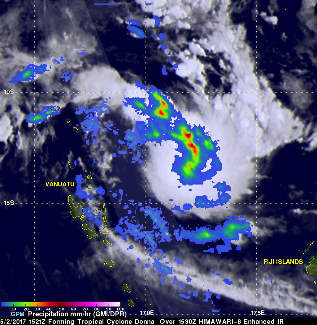
Tropical Cyclone Donna formed in the South Pacific Ocean northeast of Vanuatu On May 2, 2017 at 1800 UTC. A few hours earlier at 1521 UTC the GPM core observatory satellite passed above that area. GPM's Microwave Imager (GMI) instrument provided a clear view of the rainfall associated with the forming tropical cyclone. GMI revealed that an intense rain band was wrapping into the center of the forming tropical cyclone from the northern side. GMI data indicated that precipitation in one of these intense rain bands was falling at a rate of over 53 mm (~2 inches) per hour. GPM's Dual-Frequency Precipitation Radar (DPR) 245km wide (151.9 miles) swath (shown in lighter shades) covered an area to the west of the forming tropical cyclone's center. DPR found that rain was falling at a rate of almost 72 mm (2.8 inches) per hour within scattered showers in that area. DPR also indicated that a few storm tops in the area west of the forming tropical cyclone reached altitudes above 11.52 km (7.1 miles).
The Joint Typhoon Warning Center (JTWC) predicts that tropical cyclone Donna will intensify while moving southwestward toward Vanuatu. Donna's maximum sustained winds are expected to be about 95 kts (109 mph) as Donna gets close to the northern islands of Vanuatu on May 5, 2017. Tropical cyclone Donna is then expected to batter the islands with maximum sustained winds increasing to 110 kts (127 mph) as its track curves toward the south-southeast.