Intensifying Tropical Storm Nock-ten Heads Toward Philippines
Heavy precipitation and strong winds from typhoon Nock-ten are expected over the Philippines for several days as the country is celebrating the Christmas holiday. Tropical storm Nock-ten is predicted by the Joint Typhoon Warning Center (JTWC) to strengthen into a powerful typhoon with winds of about 105 kts (121 mph) before it reaches the Philippines. Nock-ten is predicted to weaken after hitting the eastern Philippines but still have winds of over 80 kts (92 mph) as it travels close to Manila, the country's capital.
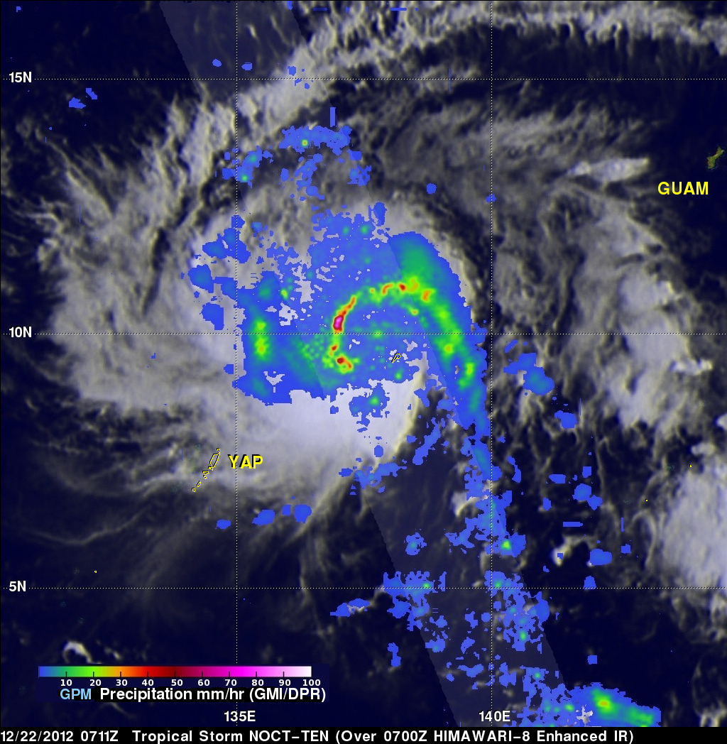
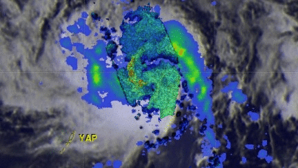
The GPM core observatory satellite had a good view of Nock-ten when it passed over head on December 22, 2016 at 0711 UTC. The intensifying tropical storm was moving into the Philippine Sea with winds of about 40 kts (46 mph). Rainfall data derived from GPM's Microwave Imager (GMI) and Dual-Frequency Precipitation Radar (DPR) data showed the location and intensity of heavy rainfall within Nock-ten. Rain was measured by GPM's DPR falling at a rate of over 220 mm (8.7 inches) per hour in an intense band of convective storms moving to the west of Nock-ten's center of circulation.
Some very high storm tops were measured by GPM's radar (Ku Band) in these heavy downpours. A 3-D measurement of the precipitation in these powerful storms showed that some were reaching heights above 16 km (9.9 miles).