GPM Views Intensifying Tropical Storm Nanmadol
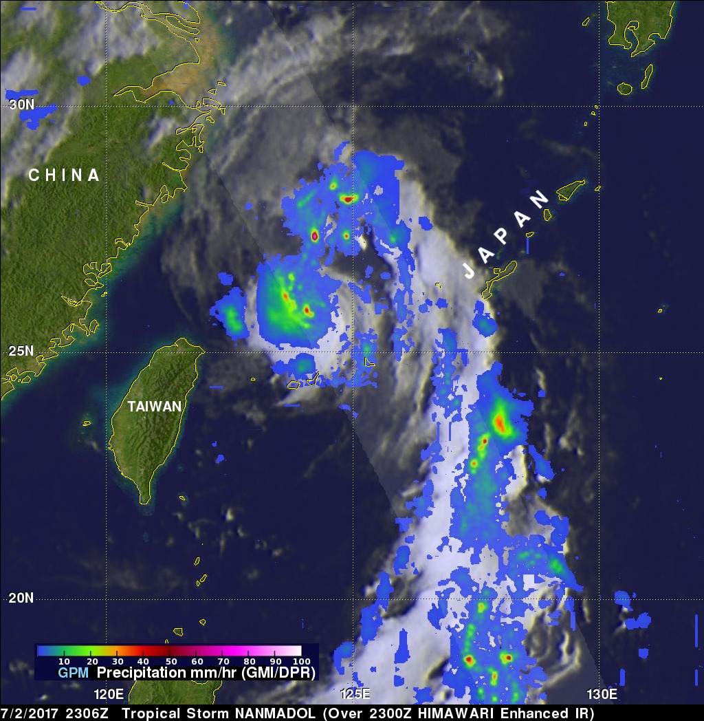
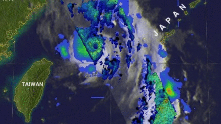
The GPM core observatory satellite flew above tropical storm NANMADOL on July 2, 2017 at 2306 UTC. The intensifying tropical storm was located just northeast of Taiwan and had maximum winds estimated at 45 kts (51.8 mph). The GPM Core Observatory carries the first space-borne Ku/Ka-band Dual-frequency Precipitation Radar (DPR) and a multi-channel GPM Microwave Imager (GMI). Rainfall within NANMADOL was derived from data collected by GPM's GMI and DPR instruments. Those data indicated that rain was falling at a rate of greater that 184 mm (7.2 inches) per in powerful storms northeast of the storm.
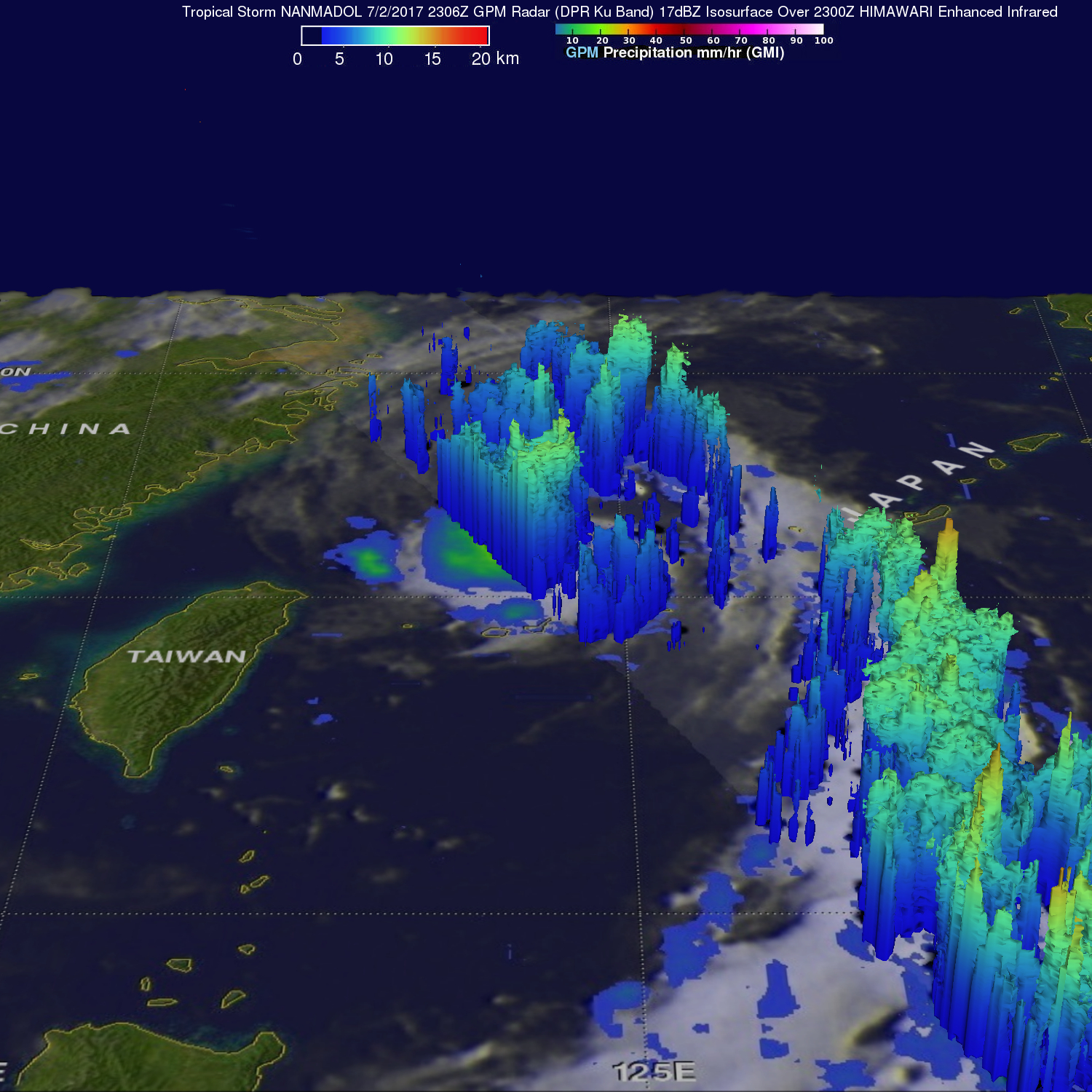
GPM's Radar (DPR Ku band) enabled a 3-D examination of tropical storm NANMADOL's precipitation anatomy. Those data showed that an eye like structure was present at the intensifying tropical storm's center of circulation. DPR found that storm top heights near the center of circulation were reaching altitudes of over 14.4 km (8.9 miles). The tallest storms were seen by GPM in a large feeder band to the southeast of the storm's center where storm top heights were reaching altitudes of over 16.4km (10.2 miles).
The Joint Typhoon Warning Center (JTWC) predicts that NANMADOL will intensify to weak typhoon intensity as it heads toward the Japanese island of Kyushu. NANMADOL is expected to pass over some cooler ocean waters resulting in weakening before hitting Kyushu.