GPM Used To Evaluate Tropical Storm Estelle
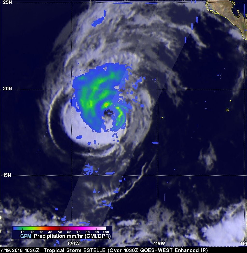
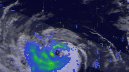
The GPM core observatory satellite traveled above tropical storm Estelle on July 19, 2016 at 1036 UTC. This pass showed that Estelle contained well organized convective bands that were producing precipitation within the storm. Precipitation within Estelle was analyzed using data collected by GPM's Microwave Imager (GMI) and Dual-Frequency Precipitation Radar (DPR) instruments. GPM's radar (DPR Ku band) data were used to perform a 3-D examination of the precipitation on the eastern side of tropical storm Estelle. Some rainfall was measured by DPR falling at a rate of over 65 mm (2.6 inches) per hour in storms in that area.
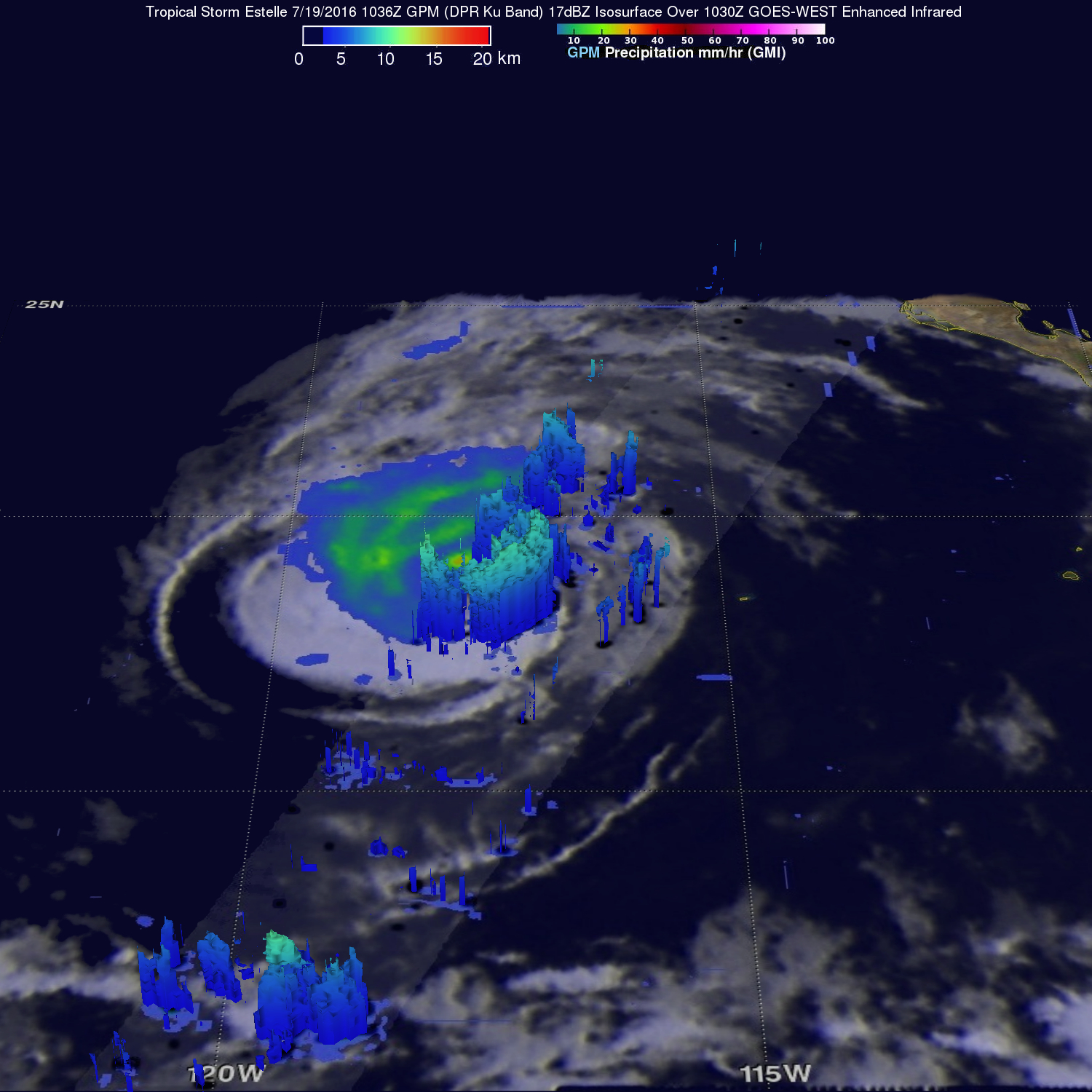
DPR's 3-D scans of Estelle found that some storm top heights were reaching to over 11.6 km (7.2 miles) on the eastern side of the tropical storm. An animation of DPR 3-D slices were also used to show radar reflectivity values of precipitation on the eastern side of the storm.
Tropical storm Estelle is predicted by the National Hurricane Center (NHC) to gradually weaken as it moves toward the northwest over cooler ocean waters. Estelle is predicted to become post-tropical on July 22, 2016.