GPM Sees Tropical Storm Hector Forming
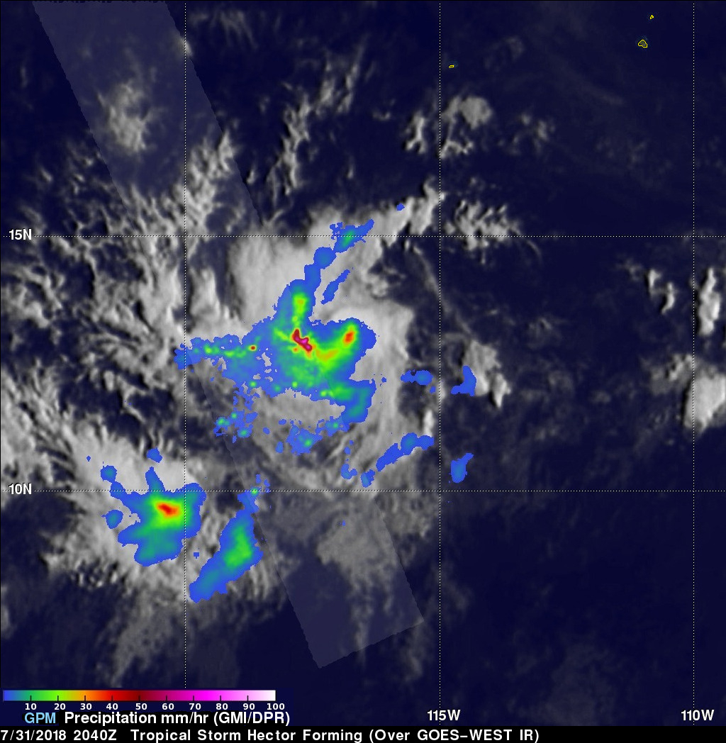
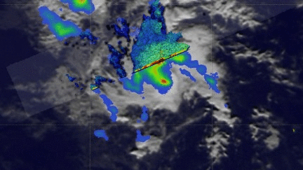
Tropical storm Hector was forming in the eastern Pacific Ocean southwest of Mexico when the GPM core observatory satellite passed over on July 31, 2018 at 1:40 PM PDT (2040 UTC). Hector's maximum sustained winds at that time were estimated to be about 30 kts (34.5 mph). Powerful convective storms were wrapping around the western side of the deepening tropical low's center of circulation. GPM's Dual-Frequency Precipitation Radar (DPR) instrument collected data showing that rain in some of these storms was falling at a rate of almost 198 mm (7.8 inches) per hour.
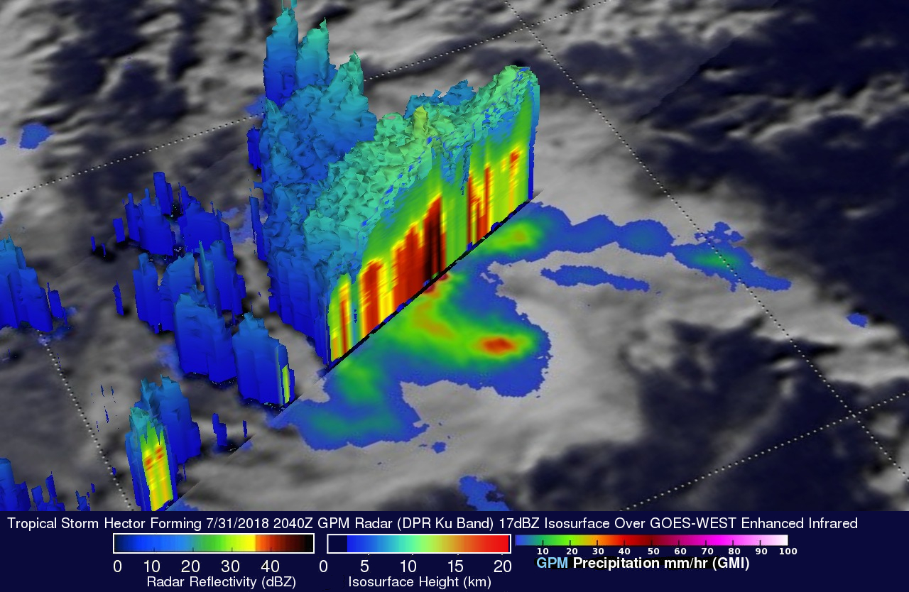
The GPM satellite's radar data (DPR Ku Band) were used here to show the 3-D structure of precipitation within the forming tropical storm. This cross-section view, looking toward the northwest, showed that powerful convective storms to the east of the forming tropical storm's center of circulation contained very intense downpours. Radar echoes measuring over 57dBZ were returned to the satellite. Storm tops in that area were found by GPM to reach heights above 12 km (7.4 miles).
The National Hurricane Center (NHC) predicts that Hector will move west-northwesterly. Despite slightly increasing vertical shear, Hector is predicted to become a hurricane as it moves toward the central Pacific. The NHC predicts that Hector will become even more powerful early next week with maximum sustained winds reaching 80 kts (92 mph).