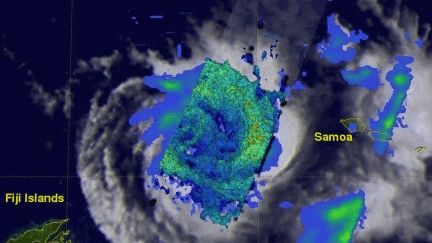
GPM Sees Intensifying Ella
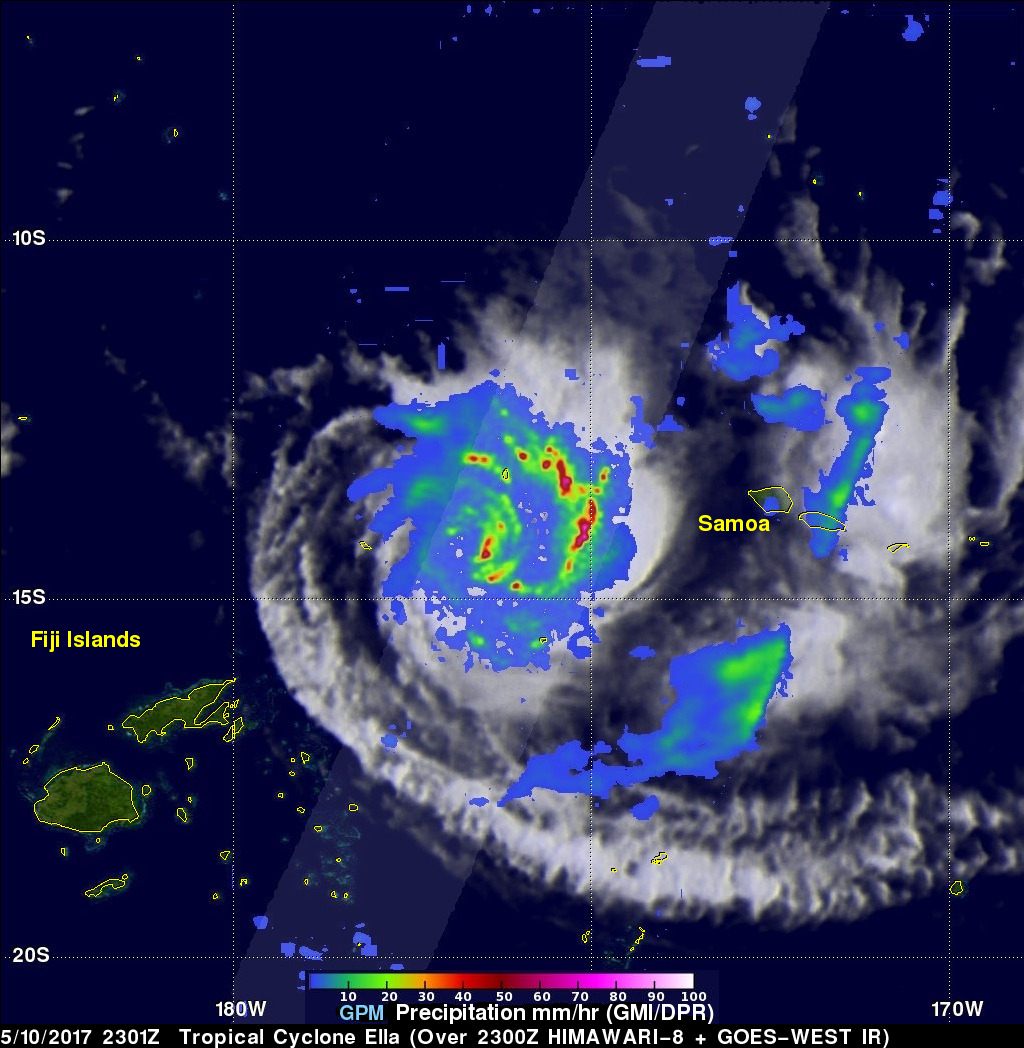
The GPM core observatory satellite flew over intensifying tropical cyclone Ella in the South Pacific on May 10, 2017 at 2301 UTC. The satellite's Microwave Imager (GMI) and Dual-Frequency Precipitation Radar (DPR) instruments showed bands of curved rainfall bands wrapping into the center of a well defined center of circulation. GPM's DPR measured rain falling at a rate of over 231 mm (9.1 inches) per hour in an intense feeder band on Ella's eastern side.
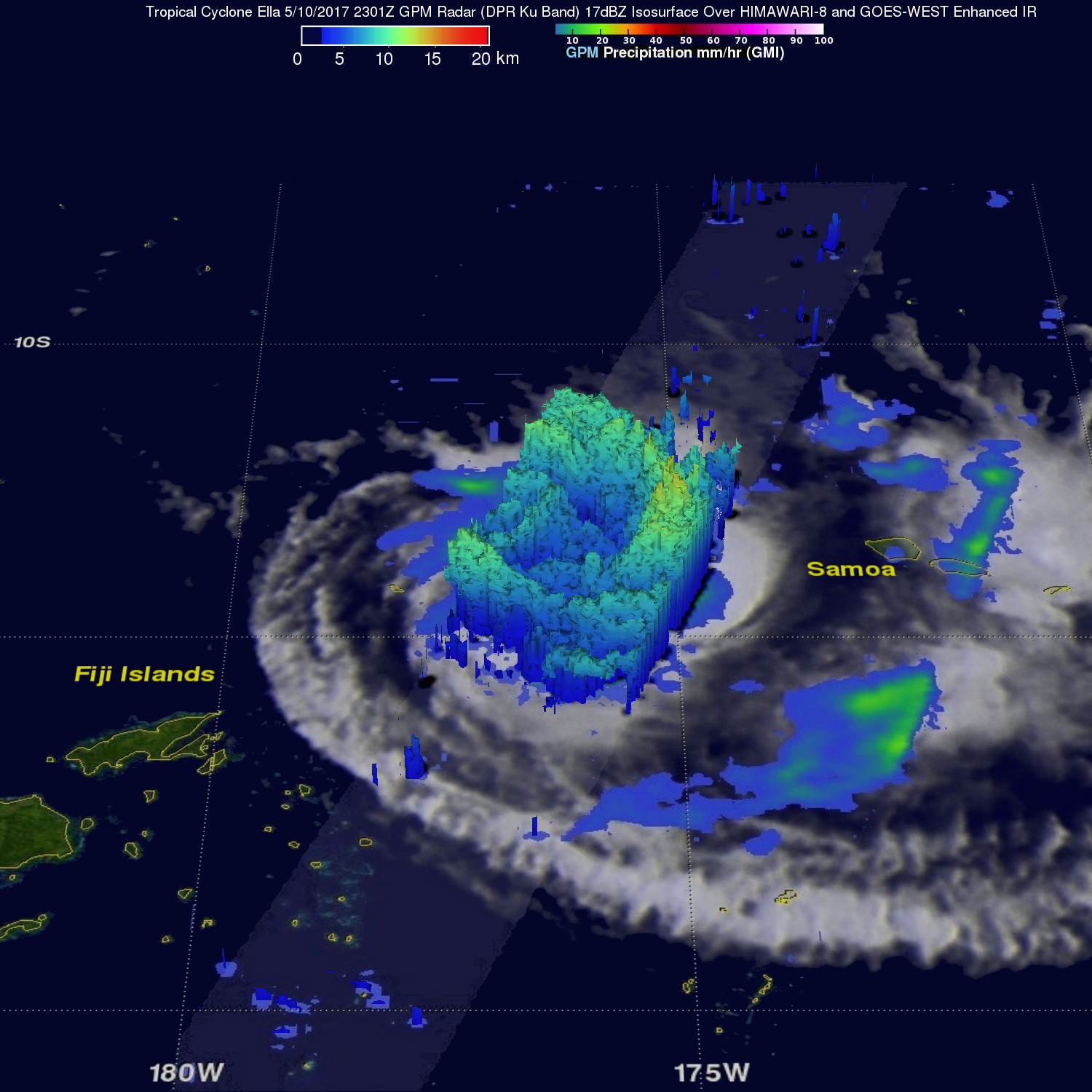
This 3-D view of tropical cyclone Ella was produced using GPM radar reflectivity data (DPR Ku Band). DPR showed that the highest storm tops around the intensifying tropical cyclone were located in intense storms in the feeder band on Ella's eastern side. Some of these powerful storms were found by GPM's DPR to reach altitudes above 15.5 km (9.6 miles).
The Joint Typhoon Warning Center (JTWC) predicts that tropical cyclone Ella will move toward the west-southwest and reach a location east-northeast of the Fiji Islands on May 14, 2017. Ella's wind speeds are expected to reach 65 kts (74.8 mph) today making it the equivalent of category one hurricane on the Saffir-Simpson Hurricane wind scale. Ella is then predicted to weaken to about 30 kts (34.5 mph) at it's closest approach to Fiji.