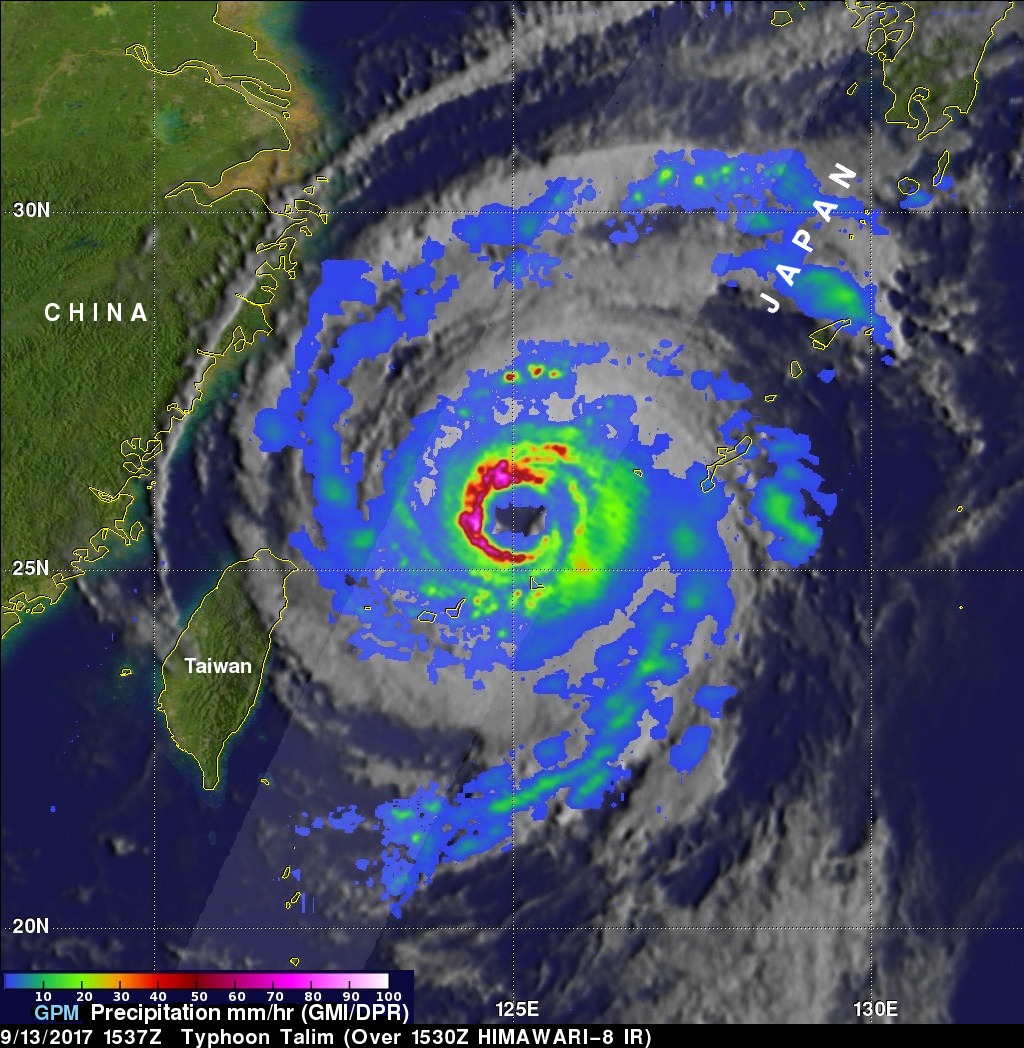
GPM Examines Typhoon Talim's Large Eye
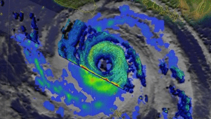
The GPM cored observatory had another outstanding view of typhoon Talim in the western Pacific Ocean on September 13, 2017 at 1537 utc. A large eye was Talim's most distinctive feature. GPM's Microwave Imager (GMI) and Dual-Frequency Precipitation Radar (DPR) showed the location of intense rainfall within Talim's distinct eye wall. DPR revealed that rain was falling at a rate of over 232 mm (9.13 inches) per hour in convective storms in the western side of the typhoon's eye wall. GPM also showed that rainfall was far weaker to the the east of Talim's center.
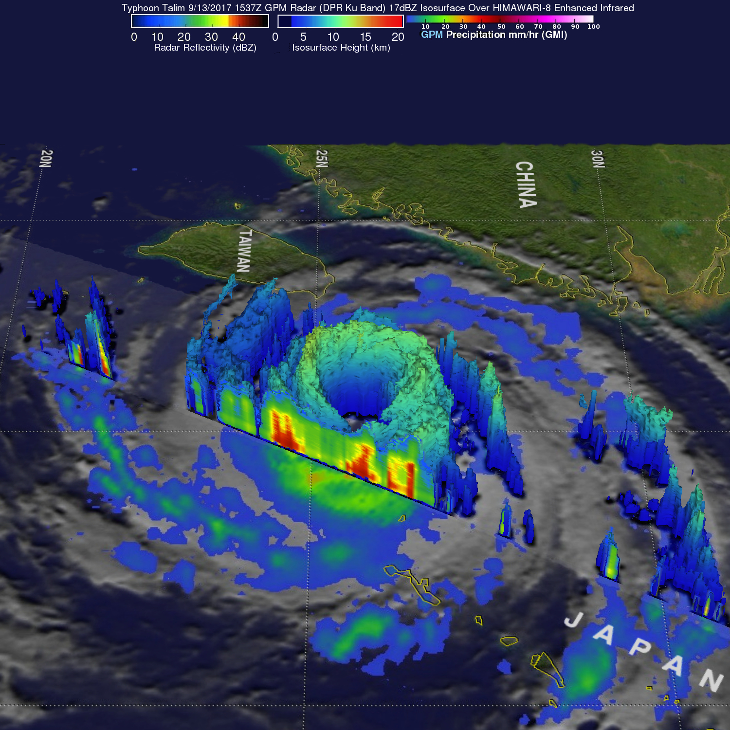
This dramatic 3-D view of Talim's eye was produced using data collected by the GPM satellite's radar (DPR Ku Band). Many of the storm tops in the western side of Talim's eye wall are shown extending to heights above 12km (7.4 miles) while they were lower on the the eastern side of the typhoon.
The Joint Typhoon Warning Center (JTWC) predicts that typhoon Talim will slightly intensify over the next few days while moving toward the Japanese island of Kyushu. The typhoon is expected to have winds of about 80 kts (92 mph) after hitting Kyushu. Talim is expected to weaken and have sustained winds of about 50 kts (58 mph) after passing over Honshu and Hokkaido.