Browse Video Resources
Browse Video Resources
Primary Topic:
Subtopics:
Type:
Keywords:
Summary:
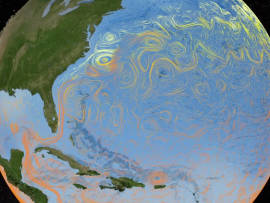
Ocean circulation plays a key role in distributing solar energy and maintaining climate, by moving heat from Earth's equator to the poles. Aquarius salinity data, combined with data from other sensors, will give us a clearer picture of how the ocean works
Primary Topic:
Subtopics:
Type:
Keywords:
Summary:
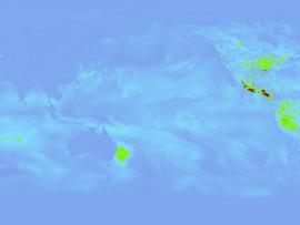
The process by which water moves around the earth, from the ocean, to the atmosphere, to the land and back to the ocean is called the water cycle. These animations each portray a component of the water cycle.
Primary Topic:
Subtopics:
Type:
Keywords:
Summary:
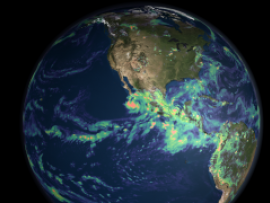
Learn how scientists use a satellite called CERES to study the clouds and monitor Earth's climate changes.
Primary Topic:
Subtopics:
Type:
Keywords:
Summary:
The process by which water moves around the earth, from the ocean, to the atmosphere, to the land and back to the ocean is called the water cycle. These animations each portray a component of the water cycle.
Primary Topic:
Subtopics:
Type:
Keywords:
Summary:
Interview with Dr. Dalia Kirschbaum, research physical scientist and GPM Applications Scientist at NASA Goddard Space Flight Center.
Primary Topic:
Subtopics:
Type:
Keywords:
Summary:
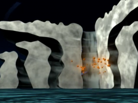
How do hurricanes get their energy? NASA hurricane scientist Dr. Jeff Halverson explains how hurricanes draw energy from the ocean surface.
Primary Topic:
Subtopics:
Type:
Keywords:
Summary:
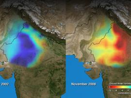
During the past decade, groundwater beneath the northern Indian states of Punjab, Haryana, and Rajasthan has decreased by more than 88 million acre-feet. Using NASA's twin GRACE satellites, scientists determined the rate of groundwater change in India.
Primary Topic:
Subtopics:
Type:
Standards:
Keywords:
Summary:
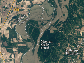
Heavy spring rains and snowmelt led to devastating floods along the Mississippi River in May 2011. Landsat 5 flew over the Mississippi River on May 10, 2011, giving a distinct view of the extraordinary extent of the flooding.
Primary Topic:
Subtopics:
Type:
Standards:
Summary:
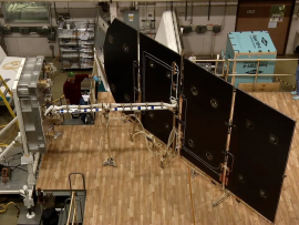
This and other similar tests will verify the deployment function of the GPM Core Observatory solar arrays in ambient condition.
Primary Topic:
Subtopics:
Type:
Keywords:
Summary:
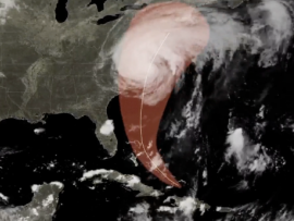
Hurricane Irene's impact in New England shows that tropical cyclones can greatly affect regions outside the view of TRMM. The GPM mission will build upon TRMM's legacy by examining a larger swath of Earth with more sensitive instruments.


