Browse ESS3.A Resources
Browse ESS3.A Resources
Primary Topic:
Subtopics:
Type:
Standards:
Keywords:
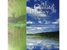
Summary:
This booklet presents important information for individuals and communities to understand Earth's climate, impacts of climate change, and approaches for adapting and mitigating change.
Primary Topic:
Subtopics:
Type:
Standards:
Keywords:
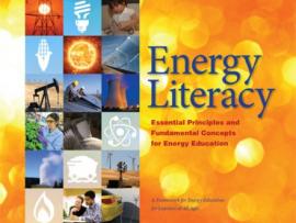
Summary:
This is a downloadable high-resolution booklet that will give the educator in-depth background information on energy concepts. This booklet is a joint project of the Department of Energy and The American Association for the Advancement of Science (AAAS).

Primary Topic:
Subtopics:
Type:
Keywords:
Summary:
This classroom activity (originally developed for the GPM Poster) will teach students about the value of Earth's freshwater resources and how important it is to study how water is transferred and stored.

Primary Topic:
Subtopics:
Type:
Standards:
Keywords:
Summary:
Using data from various satellites, these images show maps of the location of world droughts compared to where crops are grown.

Primary Topic:
Subtopics:
Type:
Keywords:
Summary:
During the past decade, groundwater beneath the northern Indian states of Punjab, Haryana, and Rajasthan has decreased by more than 88 million acre-feet. Using NASA's twin GRACE satellites, scientists determined the rate of groundwater change in India.

Primary Topic:
Subtopics:
Type:
Keywords:
Standards:
Summary:
Over one billion people lack access to safe drinking water worldwide. What can be done? Learn more about this problem and explore possible solutions.
Primary Topic:
Subtopics:
Type:
Keywords:
Summary:
Faisal Hossain, a civil and environmental engineering professor at Tennessee Technological University, uses NASA satellite data to help Bangladeshi authorities monitor their water resources and prepare for water-related disasters.

Primary Topic:
Subtopics:
Type:
Keywords:
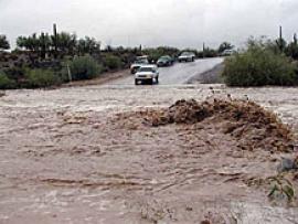
Summary:
This NASA video segment highlights the impact of drought on a global scale. Viewers learn that during a drought the risk of fire increases. Fire produces soot and ash that travel across continents via the trade winds.

Primary Topic:
Subtopics:
Type:
Standards:
Keywords:
Summary:
Design and build a water filtration system and collect data to compare water before and after filtration.

Primary Topic:
Subtopics:
Type:
Keywords:
Summary:
View recent data for air temperature, carbon dioxide, carbon monoxide, sea level, ozone, ice and water using an interactive viewer. You can also follow NASA's satellites and learn how they collect critical data about Earth's atmosphere, land, and oceans.