Hurricane Vance Weakening, Heading Toward Mexico
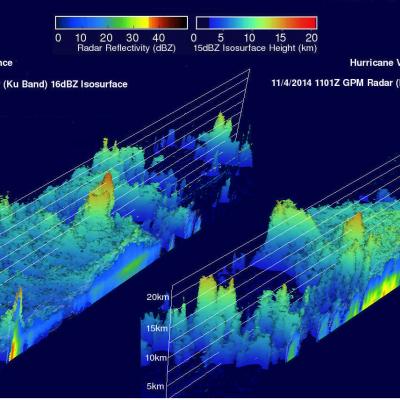
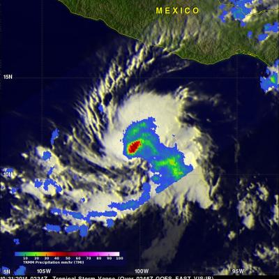
The TRMM satellite flew over hurricane Vance on November 2014 at 0953 UTC. Rainfall derived from TRMM's Microwave Imager (TMI) data collected with that view are shown overlaid on a 1000 UTC GOES-WEST image. This analysis showed that Vance had a large area of heavy rainfall near the center of the hurricane. Some intense storms in that area were dropping rain at a rate of over 50mm/hr (almost 2 inches) per hour. Vance's power peaked late on November 3, 2014 with winds of about 95 kts (about 109 mph). Vertical wind shear had started to weaken the hurricane at the time of this view but Vance was


