tropical cyclones

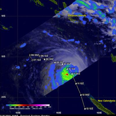
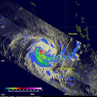
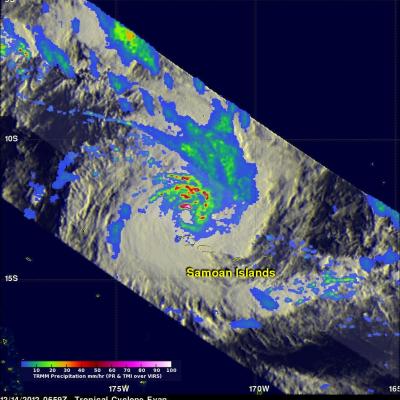
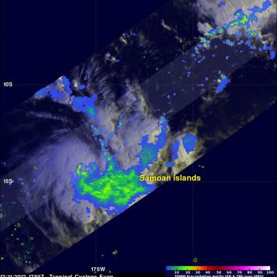
TRMM Sees Tropical Cyclone Imelda

The TRMM satellite flew directly over an intensifying tropical cyclone called Imelda in the South Indian Ocean on April 8, 2013 at 0447 UTC. This rainfall analysis used data collected with TRMM's Microwave Imager (TMI) and Precipitation Radar (PR) instruments. This analysis shows a large area of rainfall on the western side of the developing tropical cyclone. TRMM PR found that some powerful convective storms in this area were dropping rain a rate of over 86mm/hr (~3.4 inches).

Tropical Cyclone Sandra Nearing New Caledonia

Tropical cyclone Sandra formed in the Coral Sea south off the Solomon Islands on March 7, 2013. Sandra intensified over the open waters of the Coral Sea and became a very powerful tropical cyclone with winds of about 110 kts (~127 mph). Sandra has started weakening but is predicted to buffet northern New Caledonia with tropical storm force winds on March 12, 2013. Sandra's approximate past and forecast locations are shown overlaid in white. The TRMM satellite passed above Sandra on March 10, 2013 at 2219 UTC. A rainfall analysis using data captured by TRMM's Microwave Imager (TMI) instrument

Tropical Cyclone Sandra Brushing New Caledonia

On March 11, 2013 the TRMM satellite twice flew above weakening tropical cyclone Sandra as it was passing to the west of New Caledonia in the southern Pacific Ocean. TRMM's Precipitation Radar (PR) had a very good view of Sandra as it passed directly above the tropical cyclone on March 11, 2013 at 1312 UTC. TRMM PR measured rainfall at the extreme rate of over 206 mm/hr (~8 inches) in an area southwest of Sandra's eye. Those TRMM PR data also showed that very little rain was occurring north of the weakening tropical cyclone's eye. Click here to see a simulated Flyby over Sandra using 3-D TRMM

Tropical Cyclone Rusty's Flooding Rainfall

In addition to high winds tropical cyclone Rusty's heavy rainfall caused flooding in north-western Australia. The TRMM satellite's main purpose is the accurate measurement of tropical rainfall around the globe. TRMM is also used to calibrate rainfall estimates from other satellites. The TRMM-based, near-real time Multi-satellite Precipitation Analysis (TMPA) at the NASA Goddard Space Flight Center provides estimates of rainfall over the global Tropics. TMPA rainfall totals in association with tropical cyclone Rusty are shown for the period from February 21-28, 2013. Rusty's approximate 0000Z

Tropical Cyclone Rusty Moves Into Australia

On February 27, 2013 at 0559 UTC The TRMM satellite again saw tropical cyclone Rusty moving toward Australia's coastline north-west of Hedland. A rainfall analysis derived from TRMM's Microwave Imager (TMI) data is shown overlaid on a visible/infrared image from the TRMM Visible and InfraRed Scanner (VIRS). Rusty's eye, surrounded by light to moderate rainfall, was revealed by TRMM's TMI data to be located very near the coastline. Click here to see an animation which fades from the underlying visible/infrared image to the TMI rainfall analysis image. Tropical cyclone Rusty is predicted to

Tropical Cyclone Batters and Drenches Samoan Islands

The TRMM satellite had an excellent view of tropical cyclone Evan on December 12, 2012 at 1704 UTC when it was battering the Samoan Islands with hurricane force winds. Evan is predicted by the Joint Typhoon Warning Center (JTWC) to intensify and have winds of 130kts (~150 mph) while remaining close to the islands. This wind speed would make it a strong Category 3 storm on the Saffir-Simpson Scale. A storm surge of 4.5 meters (14 feet) was reported along the Samoan coast. Evan's rainfall was analyzed using TRMM's Microwave Imager (TMI) and Precipitation Radar (PR) data. This analysis shows that

Category 3 Tropical Cyclone Evan

Intensifying tropical cyclone Evan devastated the Samoan Islands when it passed over the islands on December 13, 2012. The TRMM satellite flew directly above Evan today (December 14, 2012) at 0659 UTC when the tropical cyclone was a category 3 on the Saffir-Simpson scale with winds of 100kts (115 mph). TRMM's Microwave Imager (TMI) and Precipitation Radar (PR) data were used in the rainfall analysis on the first image. TRMM's Precipitation Radar (PR) showed that very intense storms in Evan's eye wall were dropping rain at a rate of up to 147mm/hr (~5.8 inches). The strongest radar reflectivity

Hurricane Sandy (2012), the TRMM Satellite, and the Physics of the Hot Towers - Interview on KVMR Radio (audio only)

Submitted by JacobAdmin on Tue, 01/08/2013

Alan Stahler of community radio KVMR in Nevada City, California interviews NASA Goddard's Owen Kelley about hurricane physics, how TRMM measures precipitation, and the TRMM overflight of Hurricane Sandy one day before landfall. The 38-minute-long interview aired on the anniversary of the TRMM satellite's launch.

Intensifying Tropical Cyclone Moving Over Samoan Islands

The TRMM satellite passed above an intensifying tropical cyclone in the South Pacific Ocean called Evan on December 11, 2012 at 1759 UTC. Evan is predicted to attain hurricane force winds on December 13, 2012 when it is moving through the Samoan Islands. An analysis of Evan's rainfall from TRMM's Precipitation Radar (PR) and Microwave Imager (TMI) shows that Evan already had an eye-like structure at the time of this TRMM orbit. Click here To a simulated flyby courtesy of TRMM Precipitation Radar (PR) data. TRMM's 3-D Precipitation Radar (PR) data were used to measure the heights of Evan's

2012 Western Atlantic Tropical Cyclone Rainfall Measured From Space

The TRMM satellite has now been making highly accurate measurements of rainfall from space for fifteen years. TRMM can be used to calibrate rainfall estimates from other additional satellites. Those Rainfall data (3B42) are routinely created and stored at the Goddard Space Flight Center. The TRMM-based, near-real time Multi-satellite Precipitation Analysis (TMPA) at the NASA Goddard Space Flight Center can be used to analyze rainfall over a wide portion of the globe. The TMPA analysis above shows the estimated amount of rain contributed by named tropical cyclones over the western Atlantic in