PR

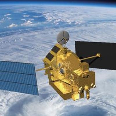
PPS is Reprocessing TRMM PR Data as TRMM GPM, Version 06A HDF5 products in Early July 2018

The TRMM Version 7 Precipitation Radar (PR) products will be superseded by new GPM era products with a reprocessing that will generate TRMM retrievals from the beginning of the TRMM mission to the end of data collection using a single frequency retrieval algorithm similar to that used for GPM Ku. This reprocessing will begin in early July, 2018. Retrievals previously available in the TRMM Version 7 products 2A21, 2A23, 2A25, and 3A25 will be available in the new 2APR and 3PR products. Note that these new GPM era products are in HDF5 format and similar in structure to those used for GPM DPR

TRMM Spacecraft Re-enters Over Tropics

The Tropical Rainfall Measuring Mission (TRMM) spacecraft re-entered the Earth’s atmosphere on June 15, 2015, at 11:55 p.m. EDT, over the South Indian Ocean, according to the U.S. Strategic Command’s Joint Functional Component Command for Space through the Joint Space Operations Center (JSpOC). The U.S. Space Surveillance Network, operated by the Defense Department's JSpOC, had been closely monitoring TRMM’s descent since the mission was ended in April. Most of the spacecraft was expected to burn up in the atmosphere during its uncontrolled re-entry. This U.S. Air Force map shows the
TRMM Spacecraft Debris to Re-Enter
June 16, 2015, Update: The Tropical Rainfall Measuring Mission (TRMM) spacecraft re-entered the Earth’s atmosphere on June 15, 2015, at 11:55 p.m. EDT, over the South Indian Ocean, according to the U.S. Strategic Command’s Joint Functional Component Command for Space through the Joint Space Operations Center (JSpOC). The U.S. Space Surveillance Network, operated by the Defense Department's JSpOC, had been closely monitoring TRMM’s descent since the mission was ended in April. Most of the spacecraft was expected to burn up in the atmosphere during its uncontrolled re-entry. This U.S. Air Force...

TRMM PR Data Distribution Resumes

TRMM/PR data distribution resumes during the experimental operation period. The satellite has descended to an altitude of around 350 km on February 12, 2015, which is the original nominal altitude before 2001. Verification of the data quality concluded and JAXA and PPS started distribution of PR data around the 350 km altitude (orbit number from 98231) to the public. PR available data period around 350 km altitude will be about 40 days since February 12, 2015. Please see TRMM/PR data distribution for further information and for the data locations.

TRMM Precipitation Radar Data Suspended

The TRMM satellite is descending, and the users of TRMM Precipitation Radar (PR) data should be aware that the last production orbit of public PR data was orbit #96230 from October 7th, 2014. From that point forward, the TRMM PR data is suspended because no useful cloud data are being observed. It is possible that PR data will again be made available when TRMM descends to the vicinity of its at-launch altitude of 350 km. TRMM Microwave Imager (TMI) data will continue to be produced and publicly available during the descent of the spacecraft until it reaches its decommissioning altitude of