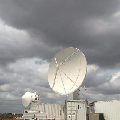
Development of low storm clouds in the atmospheric mixing layer over the NPOL and D3R radars on June 12, 2013 at ~12:00 p.m. CDT. Credit: Walt Petersen /NASA . On Wednesday afternoon, June 12, a severe storm outbreak developed and moved across central and eastern Iowa, and then western Illinois, spawning huge thunderstorms and several tornadoes. NASA's Polarimetric (NPOL) precipitation radar, currently deployed in Iowa as part of the Iowa Flood Studies field campaign for the Global Precipitation Measurement mission, rapidly scanned these storms as they moved across the state. NPOL capturing...
The NASA Precipitation Measurement Missions (PMM) Science Team for the TRMM and GPM missions met on March 18-21, 2013 in Annapolis, MD. This meeting included oral, poster, and evening working group sessions covering mission/program status, algorithm development activities, international partner reports, science activities, field campaign results, and other science team business. More than 175 scientists from 11 countries participated. The TRMM satellite is now in its 16th year of on-orbit operation and the GPM Core Observatory is scheduled to launch in early 2014.
The 5th International Workshop for GPM Ground Validation (GV) hosted by Environment Canada was held on July 10-12, 2012, in Toronto, Canada. The primary objectives of the workshop were to improve understanding of high-latitude GV priorities and practices, identify and prioritize remaining issues with algorithm development, increase coordination amongst international partners, and improved understanding of how such information can be incorporated into GPM retrieval algorithms. Over 80 participants from 15 nations attended the workshop to report on cooperative ground validation activities
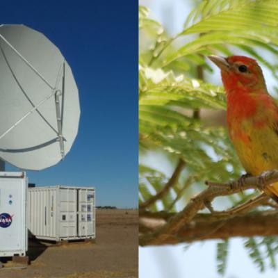
By Ellen Gray , NASA Goddard Space Flight Center Original www.nasa.gov Press Release (published 6/7/12) NASA and Nature Conservancy Agreement Supports [no-glossary]Precipitation[/no-glossary] and Migratory Bird Research The NASA NPOL radar is a research grade S-band, scanning dual-polarimetric radar. It underwent a complete antenna system upgrade in 2010 and is one of two fully transportable research-grade S-band systems in the world. It is used to make accurate volumetric measurements of precipitation including rainfall rate, particle size distributions, water contents and precipitation type...
Six Week GCPEx Campaign ConcludesJacobAdminThu, 03/01/2012
February 29 marked the last day of the GPM Cold Season Experiment. After six weeks of no snow, light snow, rain, and some nice heavy snowstorms, the GCPEx team is heading home. The ADMIRARI instrument at the CARE site with blowing light snow (11 Feb 2012) Credit: NASA / Chris Kidd The campaign ended with a big storm last Friday, February 24th, that put all three planes in the air over an eight hour period. They captured a wide array of different types of snow and rain from Eastern New York as the DC-8 flew in from Maine to north of the CARE site in Huronia and Georgian Bay, off of Lake Huron
This excerpt from the NASA Earth Observer publication provides and in-depth summary of the Midlatitude Continental Convective Clouds Experiment (MC3E), which took place from April 22nd - June 6th 2011 in central Oklahoma. The overarching goals of the field effort were to provide a complete three-dimensional characterization of precipitation microphysics in the context of improving the reliability of GPM precipitation retrievals over land, and to advance understanding of the primary physical components that form the basis for models that simulate convection and clouds.