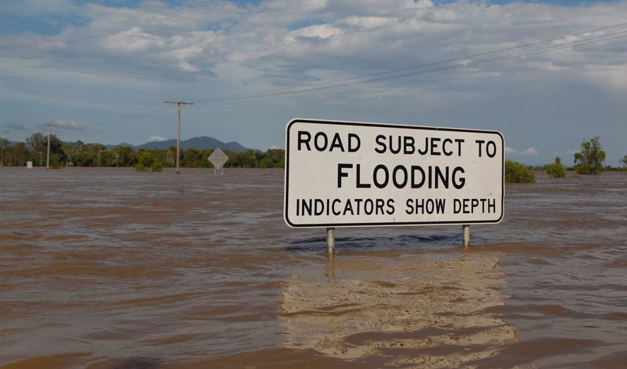
Floods
In July 2010, monsoon rains put one fifth of Pakistan under water. In December 2010 and January 2011, Tropical Cyclone Tasha and a wet year combined to drown Queensland, Australia. And in the United States this May, flooding on the Mississippi River has displaced thousands of people. Over months or a few short hours, extreme rain can interact with the right combination of topography, land use and climate to trigger deadly and costly floods.
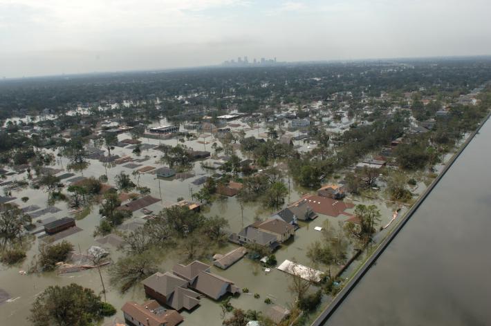
Submerged houses in Louisiana due to extreme flooding caused by Hurricane Katrina
To better understand and predict floods scientists have developed hydrological models based on how much rainfall occurs and where the water will likely go once it hits the ground. They use several satellite precipitation datasets within these models to provide near real-time estimates of when and where areas may flood. While the majority of flood models currently focus on local or regional scales — taking into account one drainage basin or watershed — some recent research has shifted to estimating areas of potential flooding on a global scale. The International Flood Network (IFNet) converts precipitation data from TRMM into rainfall maps as part of their Global Flood Alert System. While still in its trial version, IFNet determines flood risk based on a minimum precipitation threshold and in the future will alert communities of potential flooding in their region. Another global flood monitoring system integrates TRMM rainfall into a hydrologic model to estimate potential flooding conditions in near real-time, considering stream flow, water routing and existing river networks.
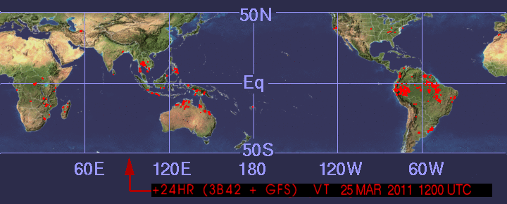
TRMM's flood monitoring map from March 11, 2011. The colored areas indicate locations with a low to high potential for flooding given the preceding rainfall conditions and flood modeling.
Go to the TRMM Flood and Landslide Monitoring page.