
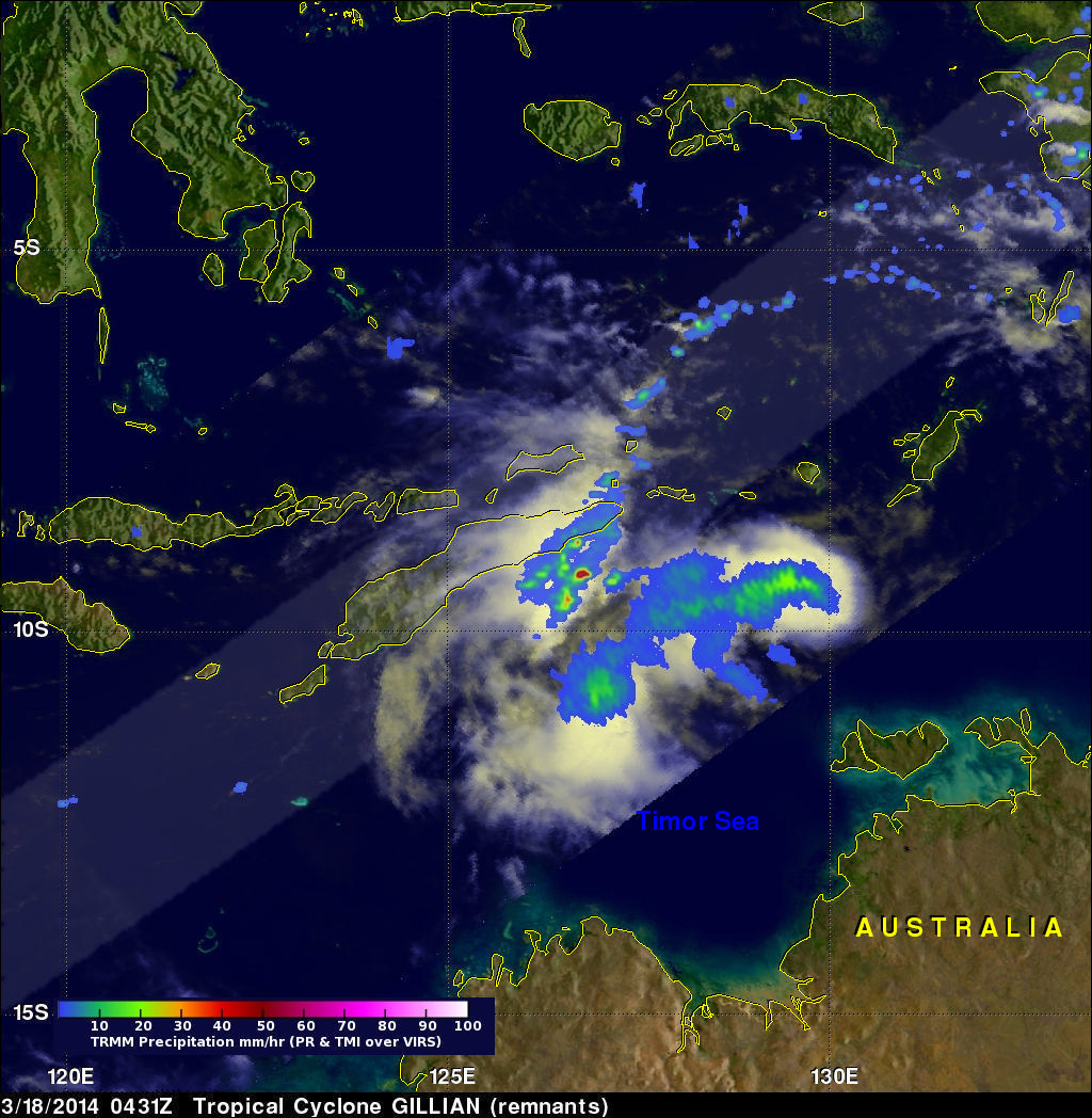
Tropical Cyclone Gillian's Remnants
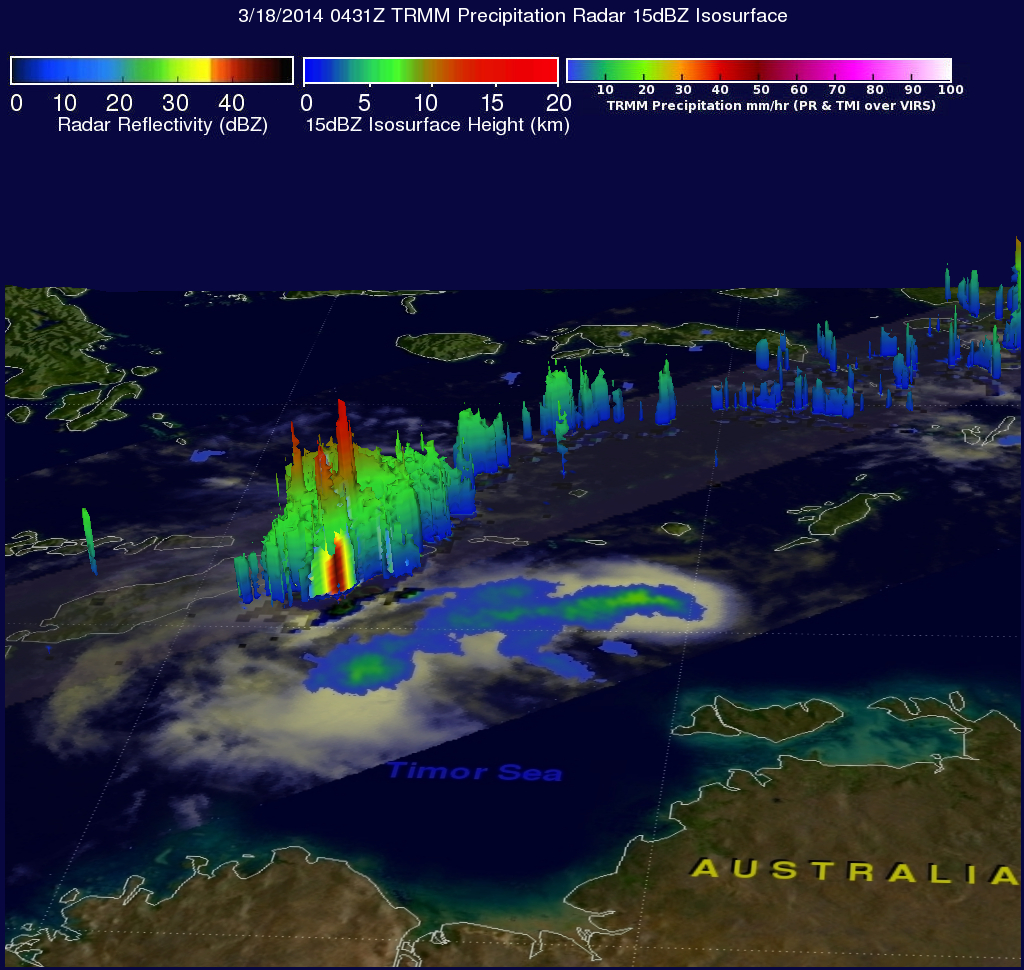
Over the past few days former tropical cyclone GILLIAN's remnants moved from the Gulf Of Carpentaria into the Timor sea . The TRMM satellite found a few strong convective thunderstorms when it passed above these remnants on March 18, 2014 at 0431 UTC. TRMM's Precipitation Radar (PR) instrument measured rain falling at a rate of over 86 mm/hr (~3.4 inches) in some intense storms.
The simulated 3-D image above was made using TRMM PR data and shows that several of the tallest thunderstorms in GILLIAN's remnants were reaching heights of over 15.75 km (~9.8 miles). Radar reflectivity values of over 50.7 dBZ were being returned to TRMM from the heavy rainfall within these storms.
The Joint Typhoon Warning Center (JTWC) recently assigned GILLIAN's remnants a medium potential of again becoming a significant tropical cyclone.