
First 2015 Tropical Storm Forms In Eastern Pacific
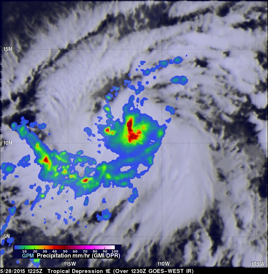
Tropical storm Andres became the first tropical storm of the the 2015 Eastern Pacific hurricane season today at 1500 UTC (9 AM MDT). The GPM core observatory satellite flew over the intensifying tropical cyclone (TD1E) at 1225 UTC ( 6:25 AM MDT). Rainfall data from GPM's Microwave Imager (GMI) and Dual-Frequency Precipitation Radar (Ku Band) instruments are shown overlaid on an enhanced GOES-EAST satellite infrared image received at 1230 UTC (6:30 AM MDT). Rain was found by GMI to be falling at a rate of over 60 mm (2.4 inches) per hour in powerful convective storms near Andres' center.
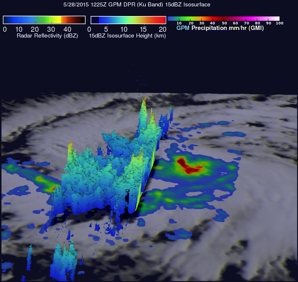
Data from GPM's Dual-Frequency Precipitation Radar (DPR) instrument viewed an area to the west of forming tropical storm Andres' center of circulation. This 3-D view uses GPM's Ku Band radar data showing tall thunderstorms reaching heights of over 15 km (9.3 miles) were located in a feeder band within the DPR's swath.
During the past month the National Oceanic and Atmospheric Administration (NOAA) has observed warmer sea surface temperatures in the eastern Pacific Ocean. This indicates that El Nino is becoming stronger. El Nino usually means stronger hurricane activity in the central and eastern Pacific basins so many other tropical cyclones are likely to follow Andres' lead in the eastern Pacific.
Andres is predicted to become more powerful and be the first hurricane of the 2015 eastern Pacific Ocean in a couple days.