precipitation radar

TRMM Precipitation Radar Data Suspended

The TRMM satellite is descending, and the users of TRMM Precipitation Radar (PR) data should be aware that the last production orbit of public PR data was orbit #96230 from October 7th, 2014. From that point forward, the TRMM PR data is suspended because no useful cloud data are being observed. It is possible that PR data will again be made available when TRMM descends to the vicinity of its at-launch altitude of 350 km. TRMM Microwave Imager (TMI) data will continue to be produced and publicly available during the descent of the spacecraft until it reaches its decommissioning altitude of
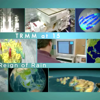
TRMM reign of rain screenshot
By Ellen Gray , NASA Goddard Space Flight Center Original www.nasa.gov Article (published 11/27/12) When it rains it pours, goes the saying, and for the last 15 years, the data on tropical rainfall have poured in. NASA's Tropical Rainfall Measuring Mission (TRMM) was launched on Nov. 27, 1997, and for the last decade and a half has enabled precipitation science that has had far reaching applications across the globe. TRMM Project Scientist Scott Braun looks back at the legacy of the Tropical Rainfall Measuring Mission and a few of the major scientific milestones the satellite has helped...

TRMM Precipitation Radar Sees Two Tropical Storms Developing

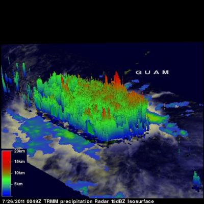
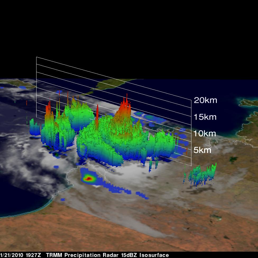
The TRMM satellite saw two tropical storms in the western Pacific Ocean as they were in early stages of development. These 3-D views were made from TRMM's Precipitation Radar (PR) data collected on 25 July 2011 at 1631 UTC and 26 July 2011 at 0049 UTC. Those data show that developing tropical storms NOCK-TEN (10W) and 11W both had towering convective storms near their centers of circulation that extended to heights above 15km (~9.3 miles). These tall towers are associated with convective bursts and can be a sign of future strengthening because they indicate areas where energy is being released