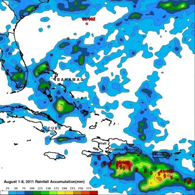
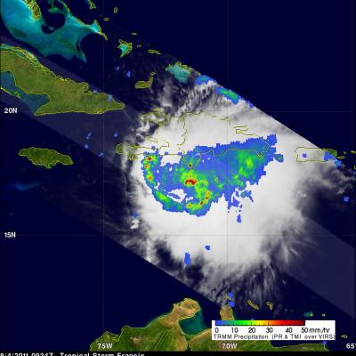
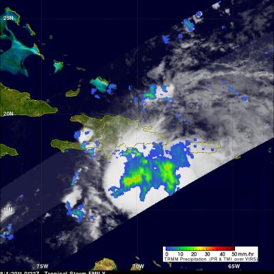
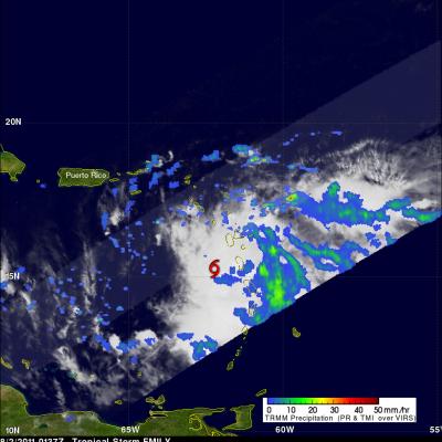
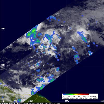
Emily Remnants Travel over Mid-Atlantic
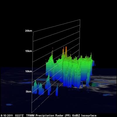
The above image shows that remnants of tropical storm Emily were still generating a few strong thunderstorms over the Atlantic Ocean when the TRMM satellite passed above on 10 August 2011 at 0227 UTC. TRMM's Precipitation Radar (PR) revealed that a few of the tallest thunderstorm towers in Emily's remnants reached to heights of over 11 km (~6.8 miles).