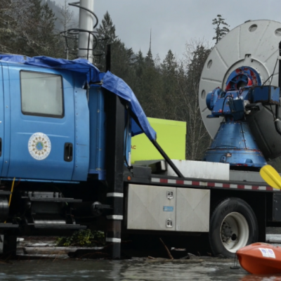
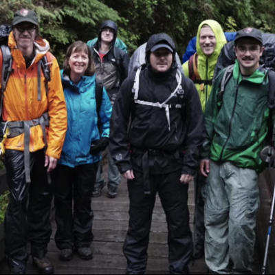
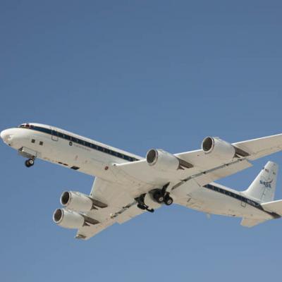
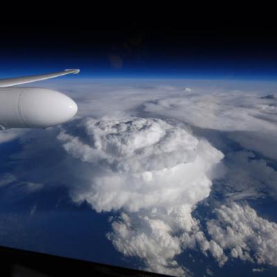
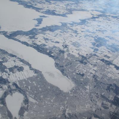
Skip Navigation

PRECIPITATION MEASUREMENT MISSIONS

Keyword: airborne science

Article: GCPEx Data Collection Summary and Example Observations


In total, 25 events were identified with two events classified as “clear air” flights conducted by the DC-8 to sample land surface emission characteristics.  Table 4 summarizes case date and time, event type, and airborne data collection during the field project.  Event total SWE amounts represent manual measurements taken by a Tretyakov gauge located inside a DFIR wind shield at CARE.  Precipitation types are characterized as rain (R), snow (S), or mixed precipitation that could include ice pellets (R/S).  Synoptic context/regime(s) were determined from the

Mission News: Saving the Best for Last - Prelude to a Storm


Summary: 

Last time I wrote for the GCPEx blog, I was stationed in Barrie, Ontario with the ground team. I’ve since switched hats to that of CoSMIR Instrument Scientist. CoSMIR (Conically Scanning Millimeter Imaging Radiometer) is one of two instruments on the NASA DC-8 which is based out of Bangor, Maine – my home for the past ten days. With CoSMIR and the Airborne Precipitation Radar-2 (APR2), the DC-8 is acting as a simulator for the GPM satellite, looking down on the CARE ground site so that we can better understand what the satellite measurements mean in terms of snow at the surface.

Joe Munchak is a scientist at Goddard Space Flight Center who specializes in remote sensing of snow. This week he writes from the air in the DC-8 out of Bangor, Maine.

Image: DC-8 Cockpit


DC-8 Cockpit
Image Caption: 
Greg Schaeffer and Dick Ewers prepare for landing the DC-8.

Learn more about GCPEx

Credits: 
NASA / Joe Munchak

Image: Flying over Barrie Ontario


Flying over Barrie Ontario
Image Caption: 
Flying over Barrie, Ontario on a clear-air flight February 20.

The large white “finger” in the center of the image is ice- and snow-covered Lake Simcoe. 

Credits: 
NASA / Joe Munchak

Image: Gail Skofronick-Jackson at the SkyDive Airport


Gail Skofronick-Jackson at the SkyDive airport
Image Caption: 
GCPEx instrumentation at the SkyDive Airport 11km east of the main CARE site.

The antenna on the top of the trailer is a Micro Rain Radar (MRR). Note the large double fencing around additional instruments behind the trailer. The double fencing reduces errors due to blowing snow. Photo taken 7 February 2012. 

Learn more about GCPEx

Credits: 
NASA / Gail Skofronick-Jackson

Article: GCPEx Flight Summaries


Summary will be updated on Fridays through the remainder of the campaign.

Latest Update: 2/29/12


Image: GCPEx: DC-8 Takeoff


The DC-8 aircraft taking off from an airstrip
Image Caption: 
The DC-8 aircraft taking off from a runway.

This airplane will be used in the upcoming GCPEx field campaign to measure falling snow.

Learn more about GCPEx

Credits: 
NASA, Dryden Flight Research Center

Image: GCPEx: Preparing the DC-8


Belly of the DC-8 aircraft with open hatch
Image Caption: 
The DC-8 aircraft being prepared for the GCPEx field campaign to measure falling snow.

Learn more about GCPEx

Credits: 
NASA, Dryden Flight Research Center

Image: GCPEx: Inside the DC-8


Engineer in a DC-8 preparing instruments for the GCPEx field campaign
Image Caption: 
A scientist prepares instruments within the DC-8 aircraft in preparation for the GCPEx field campaign.

Learn more about GCPEx

Credits: 
NASA, Dryden Flight Research Center

Article: GCPEx Campaign to Measure Falling Snow


By Ellen Gray, NASA Goddard Space Flight Center

Original www.nasa.gov Press Release (published 1/12/12)


Beginning Jan. 17, NASA will fly an airborne science laboratory above Canadian snowstorms to tackle a difficult challenge facing the upcoming Global Precipitation Measurement (GPM) satellite mission -- measuring snowfall from space.

Syndicate content